Mid-Wales 27C colder than Greenland!
BACK
TO WEATHER-BLOG MENU
New!
Fine Art Prints & digital images for sale-
Welsh Weather
& Dyfi Valley landscapes Slide-Library - Click HERE
| I
ended the last post with the comment: "
Here, the charts are hinting at colder conditions as we head towards
the end of November..." - little expecting the spectacularly cold
plunge that occurred! By November 23rd, a strong blocking high pressure system had established itself over the North Atlantic and southern Greenland, bringing in a northerly airflow all the way from the eastern Arctic. As the high started to extend a little eastwards, the flow modified itself to a NE then by the 29th an Easterly, but by then very cold air had been carried in over much of the UK. Cold air over warm seas is a classic late Autumn-early Winter pattern, and the colder the air the more intense the showers that are generated as it moves over the sea. Unlike summer thunderstorms, which often depend on warm surfaces heated by sunshine to initiate convection, in winter it is the warm body of seawater around our coasts that acts as the generator. Thus it is the windward coasts and the districts just inland from them that see the most shower activity and therefore snow. Showers of snow affected Machynlleth on the morning of November 25th, although in the image below, the main activity is out west, over Cardigan Bay, where thundery snow showers were pretty much ongoing somewhere throughout the period....  In such airflows, small depressions can develop and bring with them more extensive, prolonged snowfall. This happened on the morning of November 26th, and by lunchtime the Machynlleth area had variably 4-8 centimetres of snow covering all surfaces: with no wind it stuck pretty much everywhere: 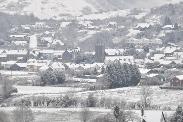 It was strange to see snow on only partially-turned Autumn leaves! 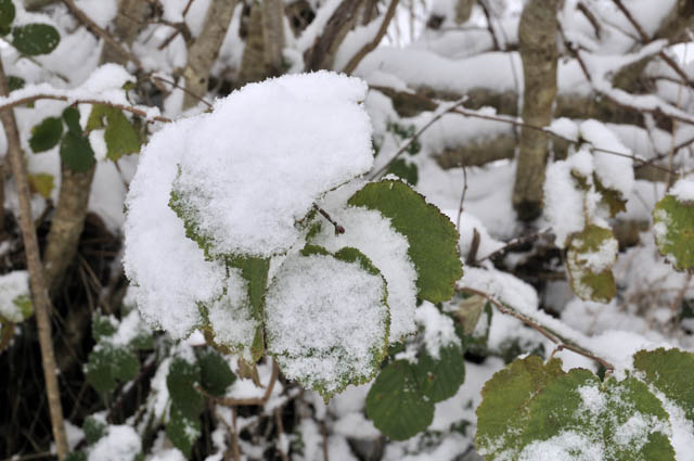 I went for a good walk - over Y Wylfa to Glaspwll then out along the Llyfnant Valley to the main road at Glandyfi, where I thought I might hitch a lift home. Along these narrow back-lanes, it was a classic "winter wonderland":  I got a bit carried away with photographing the intricate and unique patterns in the snow-encrusted vegetation: 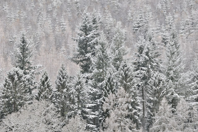 Nearing Glaspwll, I recalled the pleasing Autumnal shot I had composed at this vantage-point on November 16th, just ten days ago: 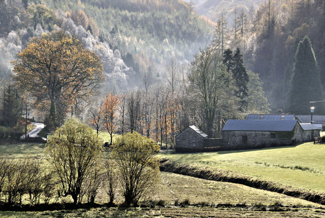 And just ten days later! 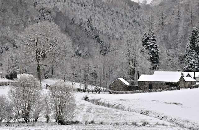 Passing through Glaspwll, I set off down the Llyfnant Valley. Here is a retrospective shot: 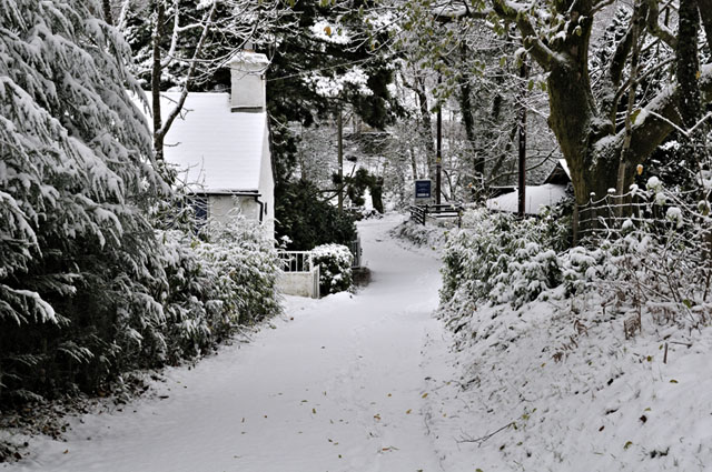 The Llyfnant Valley runs straight as a die for several kilometres and is a very steep-sided feature in the landscape. Normally there is the usual geological explanation for such things and this is no exception: a major east-west fault cuts the strata here. In the vicinity of such faults the rock tends to be shattered and broken-up, so that it may be more easily removed by the agents of erosion - hence the orientation of the fault has controlled that of the valley. The road out to Glandyfi runs right alongside the stream at first and is not a place for a skid! People were today sensibly avoiding it completely. Beneath the snow there were patches of sheet-ice which caught me once or twice... 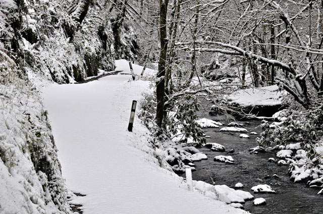 In many places, the side of the road has been hewn out of the steep rock....  Continuing westwards and the road starts climbing away from the stream, opening views of the opposite side of the valley.... 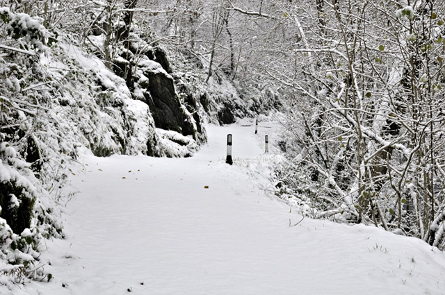 ...and so it was back to finding patterns in the snow-covered vegetation! 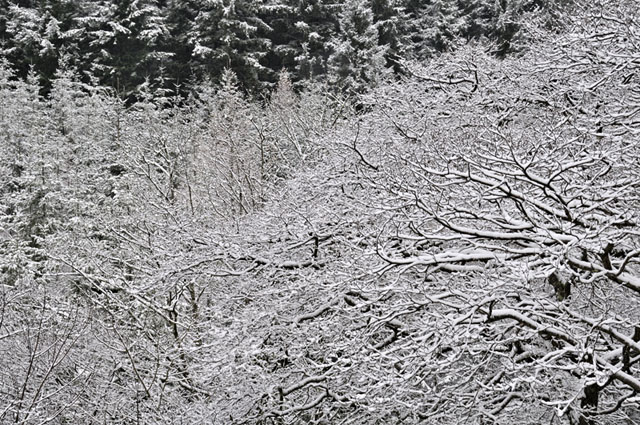 Tree-ferns thriving along a bow of sessile oak: 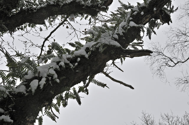 Very seasonal - had it been a month later! 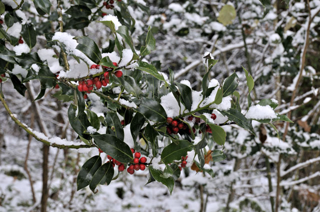 Even plantation-trees look interesting in snow! 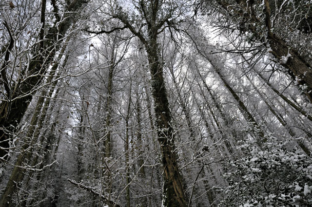 Reaching the main road I had to walk a mile or two, before finally someone picked me up and took me to Machynlleth, with news of horrendous conditions around Aberystwyth, cars on their roofs and so on. I was back early afternoon to get a pan of my special stew on the stove - it is the traditional Welsh Cawl, but with added red wine, three cloves of garlic and a couple of hot red chillies. That makes it weapons-grade! The 300hPa chart for midday on the 27th neatly shows what was going on. The jetstream (bright orange colours) exits Newfoundland (L), but then splits. One half moves south-east towards North Africa but the other moves northwards over Greenland before plunging south to the west of Ireland and then flattening out across Europe. It has the shape of a Greek Omega symbol, and this is indeed a good example of an Omega-Block. Instead of letting our weather come from the south-west, as occurs in non-blocked situations, it is bringing everything down from the very far North - hence the cold! 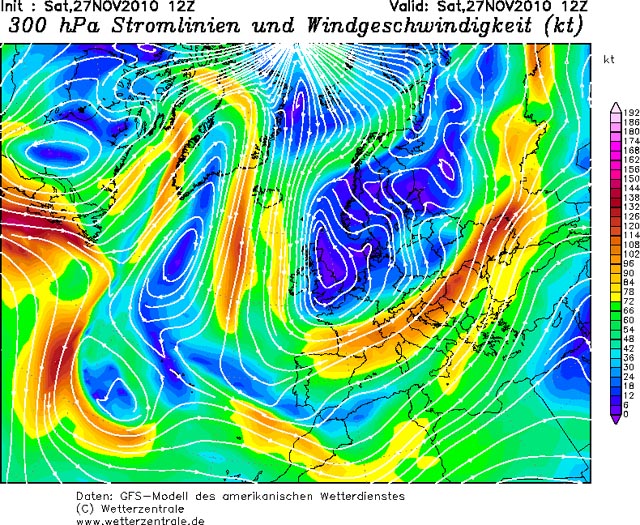 By the evening of November 27th, some extremely cold air had spread in over the UK and, over the snowfields of Wales, that night the temperatures plummeted to phenomenally cold levels. According to the Met Office: Last night saw November minimum temperature records fall across the country. Most notably both Wales and Northern Ireland recorded the coldest November night since records began. In Wales, temperatures fell to -18.0 °C at Llysdinam, near Llandrindod Wells, Powys. Northern Ireland recorded -9.5 °C at Loch Fea. Scotland recorded minimum temperature of -15.3 °C at Loch Glascarnoch, whilst England recorded -13.5 °C at Topcliffe in North Yorkshire. The UK’s lowest ever recorded temperature in November was -23.3 °C recorded in Braemar, in the Scottish Highlands, on 14 November 1919. Here's an example, from Llangorse in Powys for the morning of the 28th: the source is the Weather Underground Weather Stations site at the following address: http://www.wunderground.com/weatherstation/index.asp  The same high-pressure block that was pumping frigid air southwards was bringing mild air northwards on its western flank: these figures (same link above) were for Narsarsuaq, Greenland on the morning of the 28th! 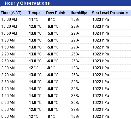 With minus 15 recorded at a number of sites across Powys and 12C at the same time in Narsarsuaq, the latter was, at the time, 27C warmer than Mid-Wales!!! Having mused on the Saturday morning that Trawscoed (SE of Aberystwyth) was the same temperature as Cairngorm Summit, I found the Mid-Wales-Greenland contrast mind-blowing! I can tell, in my non centrally-heated house, that it is seriously cold i.e. below -10 outside. In scenes reminiscent of my childhood, at such levels of cold the insides of my upstairs windows typically ice-up:  These were taken on the morning of the 29th but both mornings were very similar: pile out of bed, put on layers, get fire lit, then do all the usual stuff. The place heats up quickly enough with a fire merrily crackling away, but the downside was that I had made a major incursion into the woodpile over the past few days. With no wood-collecting arrangements yet in place, I had to plump for a few hours' driftwood foraging down the Dyfi Estuary.... 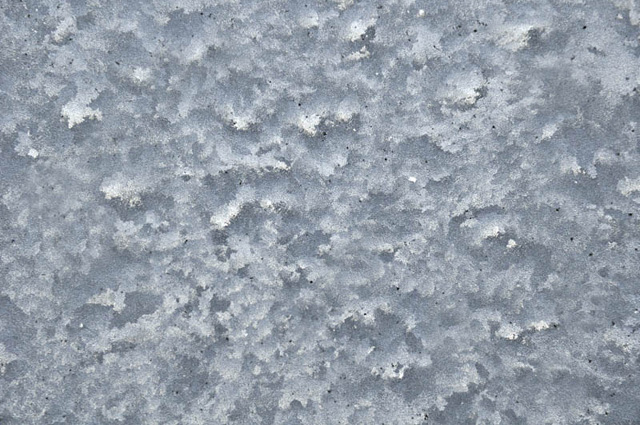 Setting out at lunchtime on the 28th, I noticed some distant cumulonimbus clouds so I pushed on to Tywyn to see if they were photogenic. They were:  Quite spectacular, with the new Tywyn Breakwater making for a bit of foreground....  I stayed a while as the scene constantly evolved....  Eventually the driving convection seemed to weaken and shortly after this last image was taken the whole lot fell apart. It was time to get that driftwood before nightfall! 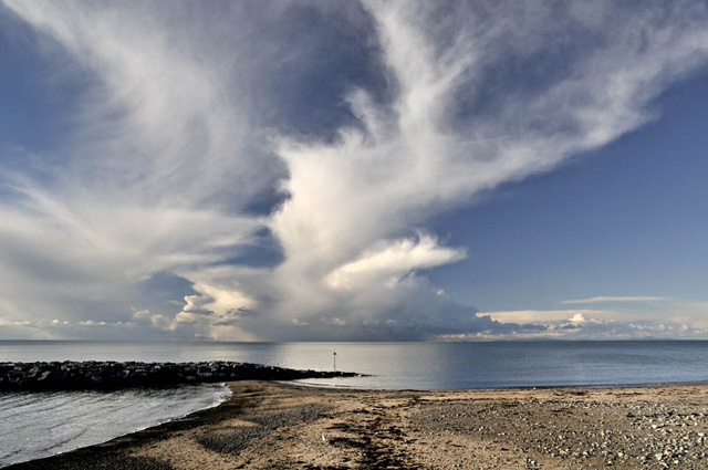 I stopped briefly at Aberdyfi for a look across the Estuary to the Plynlimon hills.... 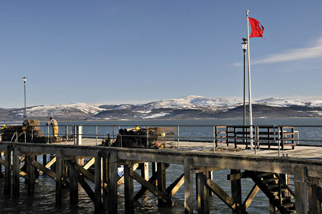 The hills above Tre'r-ddol: Foel-Goch, Moel y Llyn and Moel y Garn: 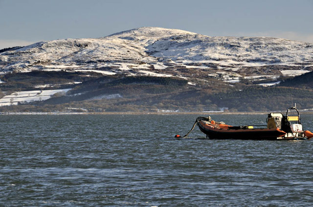 Later, I located a good wash-up of driftwood, enough to require two trips to collect it all. On the 29th I returned to do just that, but again noticed cumulonimbus clouds out to sea so it was back to Tywyn. These were snow-showers that were brewing-up over St George's Channel, between Anglesey and Dublin, and later that afternoon they became thundery.  Further up the coast this was the view from near Llangelynnin.....  ....where the old chapel looks out over the sea: 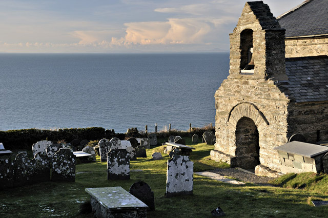
A final zoomed-in shot as the sun started to get lower and the need to get that wood beckoned: 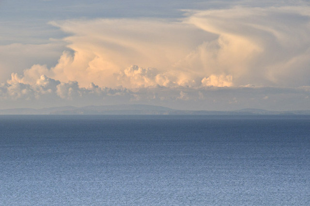 This morning (November 30th) I woke to the pleasing sight of ice-free windows. An Easterly wind had got up overnight bringing cloud and snow flurries. Looking out of my front door in the half light, it felt positively balmy - and a quick look online revealed a welcome warm-up: Trawscoed had gone from -6.6C to +0.1C between 0500 and 0600. Compared to the sub -10 shock of Sunday morning, no wonder it felt mild - it's all relative after all! Looking ahead, it does not seem especially mild (in the normal sense) in the weeks to come, and more snow is possible at times, but it looks - at the moment - as though we are unlikely to see temperatures plunge to the unseasonal - and downright uncivilised - depths that the past weekend inflicted on us! But at the same time, Winter officially starts tomorrow. It's bound to have something interesting to throw at us at some point! |
|
BACK TO WEATHER-BLOG MENU New! Fine Art Prints & digital images for sale- Welsh Weather & Dyfi Valley landscapes Slide-Library - Click HERE |