SPRING CONVECTION - 13th May 2003
BACK TO WEATHER-BLOG MENU
New! Fine Art Prints & digital
images for sale-
Welsh Weather & Dyfi Valley landscapes Slide-Library
- Click HERE
With low pressure up to the NW of Scotland and a cool, unstable showery airflow breezing across the UK, with odd embedded troughs, the period May 12-20 2003 was one in which some areas experienced quite violent thunderstorms while others missed out on anything but the odd moderate shower.
On May 12th I watched a forecast trough cross the Irish Sea and decay away to almost nothing in the process. At this time of year, the sea is still cold and can kill off convection in any but the stronger features. Note: in the Autumn the reverse is usually case - a point to remember!
These pix were
taken on May 13th, attempting an inland chase which took
me to the Newtown area, to play a frustrating game of
cat-and-mouse with some reasonable storms which largely
stayed hidden behind interstitial cumulus. A lesson in
storm-chasing - other clouds can get in the way! Another
lesson was had in that hill-country can be difficult to
operate in effectively unless you can get up onto the
hills themselves! I was not really happy with these
results but have posted them to illustrate the
difficulties that may be experienced in weather
photography. Out of bad results good things may be
learned!
Since this chase I have investigated the Newtown area a
bit more and found some better vantage-points. But I have
also concluded that in comparison the Cardigan Bay coast
and the Machynlleth-Llanidloes mountain-road are
unbeatable for weather photography!
Just having the weather is often not enough.
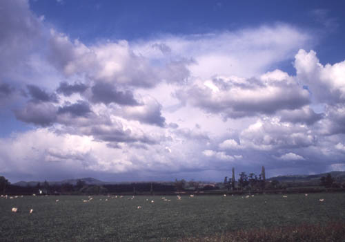
Taken from the Newtown-Welshpool road. Large cumulonimbus with a lot of small cumulus in the way! The foreground is awful! The problem was I could only find one place to stop safely - this is a busy trunk-road with lorries thundering by. That equates to dreadful as a chasing venue.
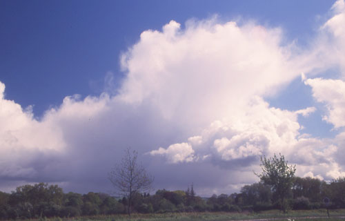
Occasional clearer areas gave better views....
This rather distant Cb has an overshooting top (the "cauliflower" of cloud pushing up above the anvil). This is indicative of a particularly powerful updraught -which in turn can mean that the storm has potential for larger than usual hail and funnel-clouds/tornadoes.
However
I'd never have caught up with the storm as it was moving
at maybe 30 knots to the Southeast. A pity!
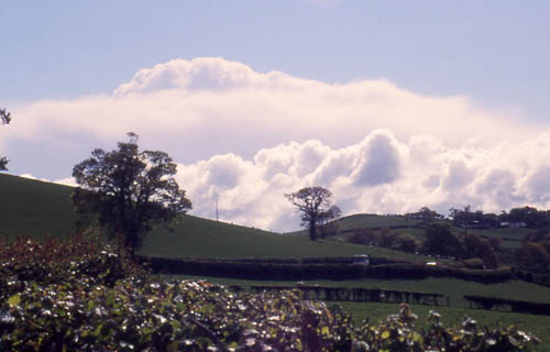
Coming home I passed through a modest heavy shower with a bit of mammatus formation under the anvil. However, the poor foreground and high contrast in the scene combined to make a disappointing photograph.
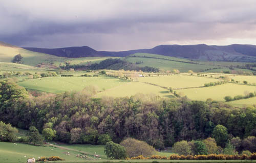
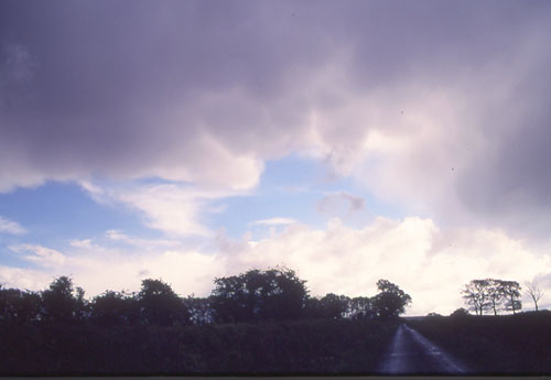
I arrived back in the Machynlleth area to sunshine and everything looking very green after the rain. The vivid foreground is spoiled however by the somewhat lacklustre cloudscape.....
5 days later Nature made amends for this poor weather photography trip!
BACK TO
WEATHER-BLOG MENU
New! Fine Art Prints & digital
images for sale-
Welsh Weather & Dyfi Valley landscapes Slide-Library
- Click HERE