BACK TO WEATHER-BLOG MENU
New! Fine Art Prints & digital images for sale-
Welsh Weather & Dyfi Valley landscapes Slide-Library - Click HEREE
It's May 29th and so we are into the final days of spring 2012. Here, the overall theme through April and May was cool and at times chilly, until later in May when the second spell of seasonally warm weather of the spring took hold - the last being in late March. Unlike recent springs, it was also rather wet, too: useful for the veg-garden but some warmth would have been equally handy: the depressed temperatures and quite sharp night-frosts at times slowing things up a bit.
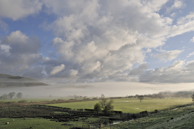
April also saw its fair share of diurnal convective showers and storms triggered by the seasonally-growing warmth of the sun, one of which was especially noteworthy as it brought very sudden and road-closing snowfall to a local area near Bala in North Wales. A bit more about that below: the opening four shots are from April 11th, a day that dawned clear with broken cloud over the hills, but with a fog-carpet over the Dyfi Valley. I was away for St David's down in the far SW first thing:
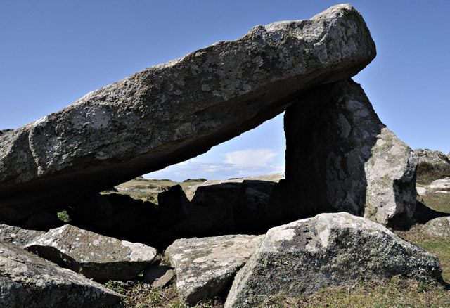
Making my way along the coast I reached St David's head by early afternoon, under cloudless skies, though out to the west the anvil-tops of thunderstorms were visible: these were affecting SE Ireland.

Here's one framed by the Cromlech on the headland!
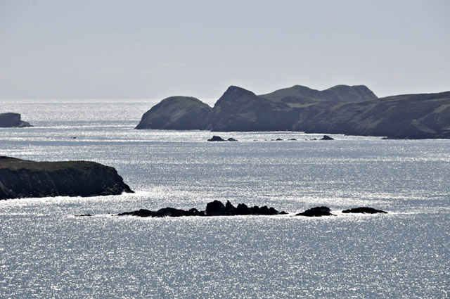
The waters sparkled through Ramsey Sound, the treacherous 6-7 knot tide-ridden stretch of water that divides Ramsey Island from the Mainland. The saw-toothed rocks extending out into the Sound from the island, in the middle of the picture, are called The Bitches, a name indicative of their great notoriety in shipping-lore.
Meanwhile, this was just over 24 hours later on the A494 Bala-Dolgellau road (this and other images were sent to me by Derek Brockway of BBC Wales - thanks!):

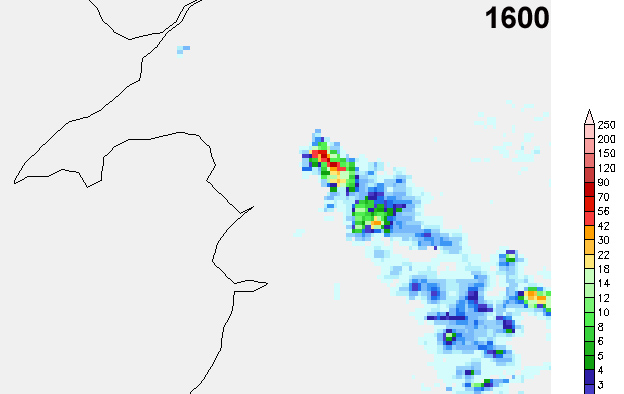
Convection had organised itself into a train-echo driven by convergence: storms were developing over the high ground of the Arenigs and then moving SE along much the same line, as these radar-frames show (colours indicate rainfall-rates, values in millimetres/hour on the key on the R):
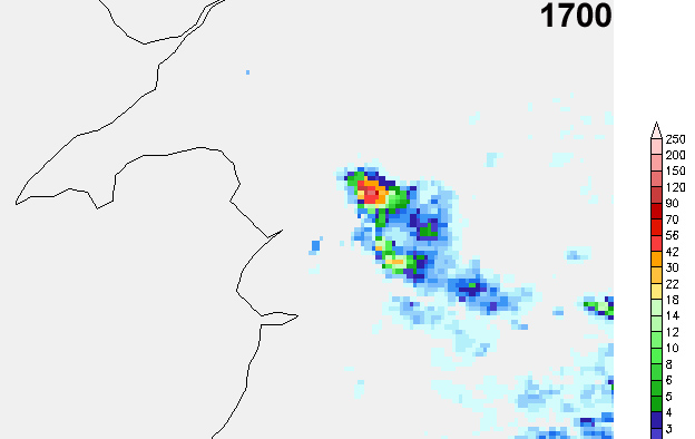
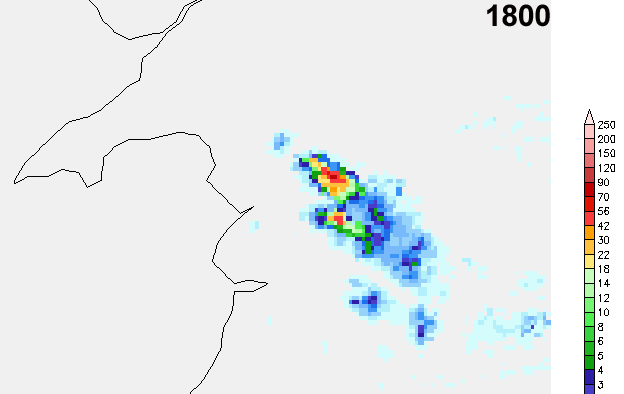

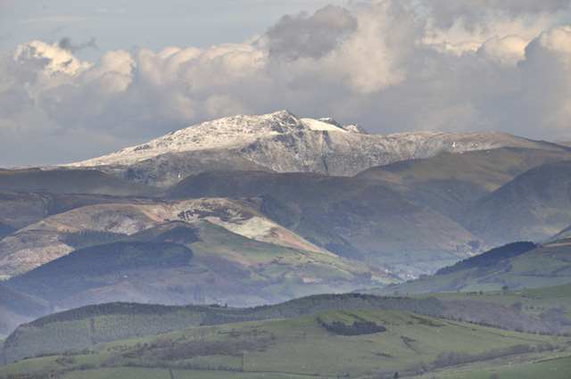
From further down the valley, this activity simply appeared as a long, cirrus-topped cloudbank lit up by the sun, whereas underneath it copious amounts of snow and hail were falling, accompanied by lightning - and a funnel-cloud, photographed from one of the military aircraft photographers' vantage-points in the area. The following morning revealed the new snow still plastering Aran Fawddwy and the surrounding hills:
The wind had died right away up on the top of Moel Fadian, where one could sunbathe and enjoy the views - this one south-west to Glaslyn and Plynlimon....

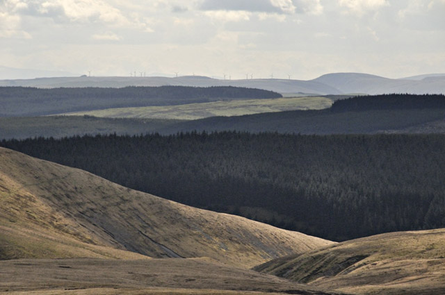
...and this more industrialised one south-east towards Llangurig. This is the sort of thing a lot of people are complaining about - but it is a curiosity that virtually nobody campaigned against the blanket conifer-afforestation of large areas of these uplands, yet wind-turbines lead to strong criticism. People are a paradoxical lot!
April 24th saw more convective activity over Mid-Wales, and I caught a nice bunch of developing storms over the mountains. Here, I thought I might have spotted a funnel-cloud - until I zoomed-in....

...it's just a bit of low scud rising into the cloudbase!

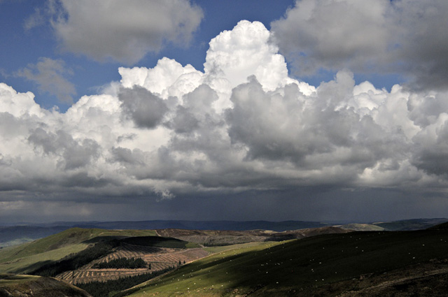
Zoomed-out, these were beautiful crisp convective clouds in a deep blue, returning polar maritime airmass sky. RPM skies almost always have good clarity.
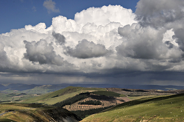
Nothing of a particularly severe nature, though...
Down at the coast later that afternoon, I messed around getting combination-shots of the surf of Ynyslas Beach and distant storms over Snowdonia:

Neat backbuilding multicell with the anvil cirrus streaming off eastwards...
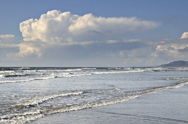
Multicells of this nature perpetuate themselves with new convective updraughts popping up upwind of the old ones:
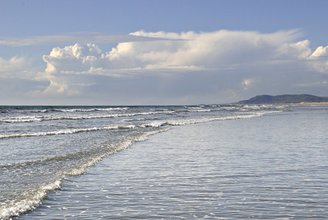
Mature anvil with mammatus: the convection had now waned and the system was starting to decay.
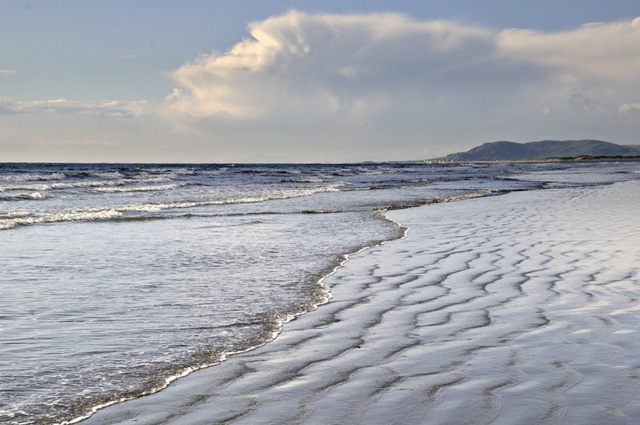
Occasional early-morning fishing-trips have been tough-going with the low overnight temperatures, chilling me, the beaches and the inshore waters alike, but providing some decent pre-dawn opportunities for images:
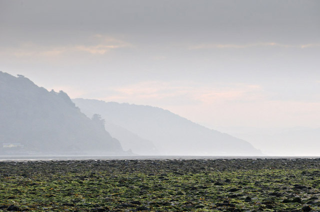
Sunrise over a foggy Dyfi Valley:
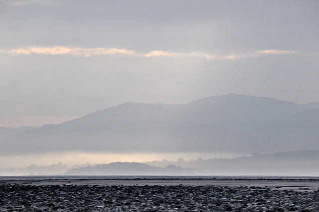
This mid-May sunset seen from Ynyslas featured a sundog as the sun sank down through a bank of high cirrus:

Here it is zoomed-in:

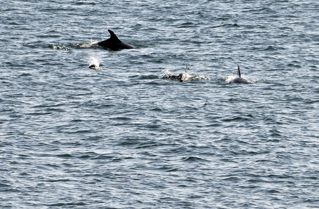
As conditions improved through the month the coastal photography (nice weather, unusually for me) project was continued, this time in NW Wales. Here's just one of many - looking towards Rhiw from near Aberdaron. Rod and lures accompanied me on these trips, where plenty of mackerel were caught, but on the afternoon of the 25th, I met the real experts....
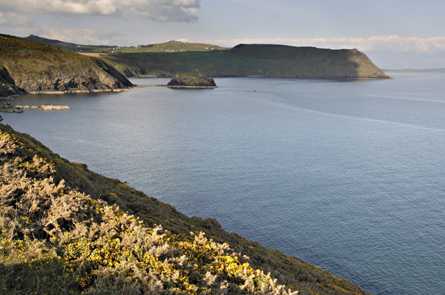
...part of a group of 7 or 8 dolphins that worked as a team to herd the fish into tight-packed "baitballs", then charging through in order to eat as many as possible in one go...
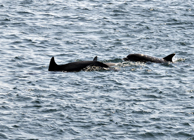
I sat and watched them for the best part of three hours until they left and it was time to catch a few mackerel myself. They were well within casting range most of the time so it seemed better to wait for then to have their fill and move on. A difficult subject to photograph, surprisingly so, but it was because they were operating over about an acre of sea and yet at the distance they were from me, full 200mm telephoto was required and the best bet was to pan around until something was in-frame then start shooting. As only a small area of sea can be focused upon, one obviously picks areas of concentrated activity to maximise the potential. However, the odd ones that come up vertically and end up airborne, the most spectacular sight of all, are pretty much undetectable until they breach, and it happened several times whilst I was just enjoying watching the sight. I'll be back for another go at this challenge soon!
May 28th saw the Olympic Torch head through Machynlleth in the morning - there was an excellent turnout with Stephen Doyle carrying the torch through the town. I found a decent vantage point with a little height to capture the moment....

The weather was perfect, although looking ahead, the showers likely on the 30th will be welcomed by all outdoor gardeners. Cooler conditions look to set in soon, into early June - and I'm never to keen to go beyond T+120 hrs in forecasting in any case, but I think it'll be a bit more mixed in nature into next week.
More soon....
BACK TO WEATHER-BLOG MENU
New! Fine Art Prints & digital images for sale-
Welsh Weather & Dyfi Valley landscapes Slide-Library - Click HERE