BACK TO WEATHER-BLOG MENU
New! Fine Art Prints & digital images for sale-
Welsh Weather & Dyfi Valley landscapes Slide-Library - Click HERE
And it is wild. Although there is a network of forest tracks, there are few paths as such. There are the old trade-routes taken by mule-trains over the passes into Granada Province in the north, while many of the summits have routes up them, but mostly it's dense woodland and scrub, with cross-country travel difficult in many places due to the dense and often thorny vegetation.
There are several ways into this area. One can drive miles and miles and come at it from the north. Alternatively, as I did, one can get dropped-off at strategic points, such as the Puerto de Colado (below), thereby saving a few miles on the approach.
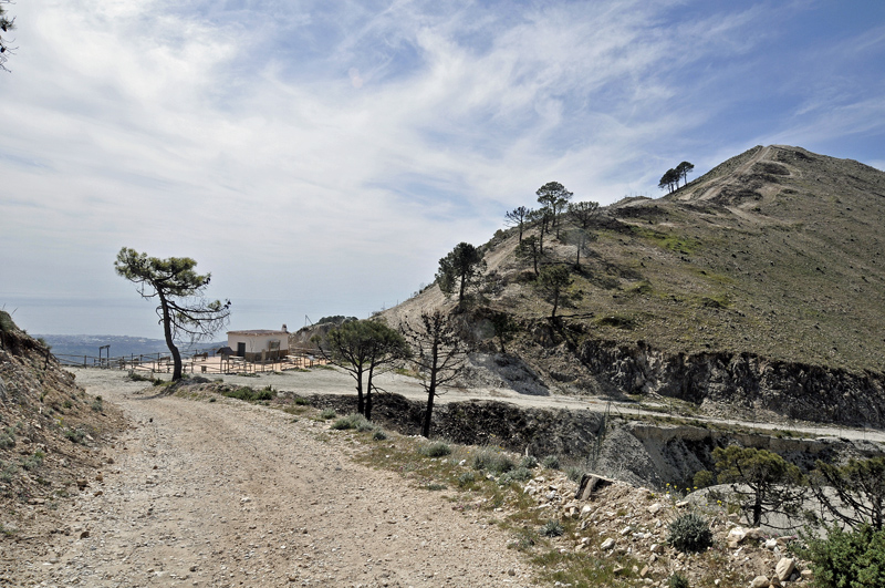
Whether intending to walk further or just lounge around, Puerto de Colado is well worth a visit, just for the superb view of the Lucero massif to the north. The steep and impregnable nature of this mountain's southern side is quite apparent. Although routes can probably be made, the main path instead approaches the mountain from its other side.
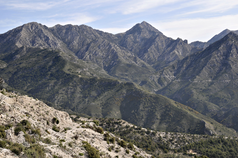
I saw these mountains in many moods: indeed the first day up there was especially interesting with broken cloud allowing for all sorts of interesting light effects:
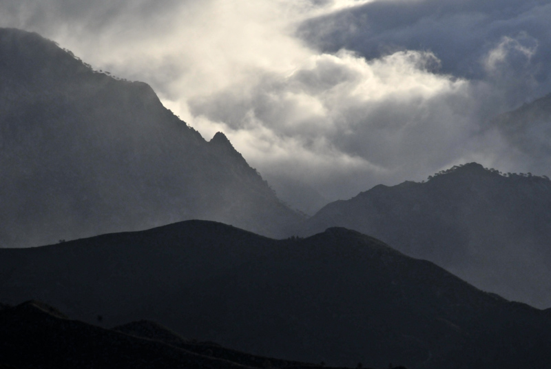
There is an apparent tree-line here, at around 1600 metres above sea-level. Whether this is down to climate or geology I am uncertain. The top of Maroma is an expanse of bare rock (as is Lucero), but the mountains are made up of limestones with extensive karstification so that they are very well-drained indeed. There's also weather to take into account, with strong northerly winds a common feature. Some nights these rose to well over gale-force. They appear to have a katabatic element to them, being strongest just before sunrise and abating soon thereafter. Up on the heights, they are probably more than most trees can stand. A little lower down, though, scattered pines and scrub appear while below 1000 metres, especially in shelter, the vegetation is luxurious...
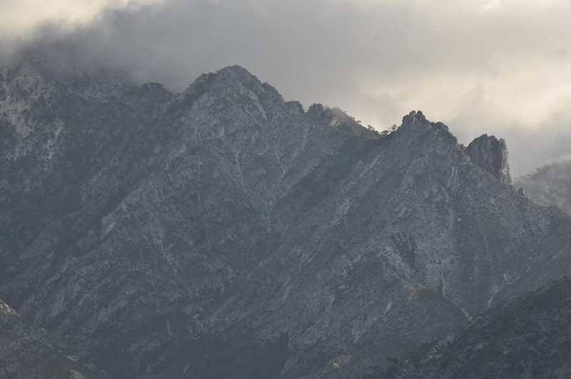
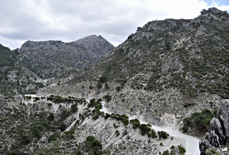
At Puerto de Colada, the road forks. This branch drops down into the next valley and the Hotel Casa de la Mina, now abandoned. It is visible towards the top of the LHS of the image. These hills once had many settlements, but being occupied by republican sympathisers, many were at least partially destroyed during the Franco years. Some have been restored - a good example is Acebuchal to the east of Competa, which offers a superb cafe-restaurant - an extremely busy place at weekends despite the approach of several kilometres along dirt-tracks. Casa de la Mina has yet to see a renaissance, but I would never be surprised to see it happen.
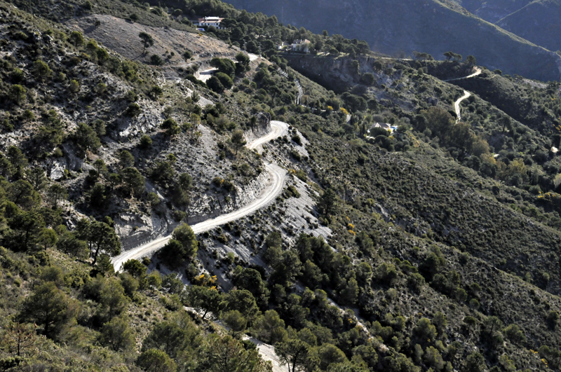
The left-hand branch becomes much rougher as it climbs up above Puerto de Colada in a series of steep zigzags, before joining another of the major forest roads, passing the rocky summit of Cerro Gavilan with its fire lookout point. The forest-road then dives down into an adjacent valley, but one of the old mule-paths branches away to the north-east, offering superb walking with stunning views at every twist and turn.
The light here, by the way, takes some getting used to. These are the least exposed of shots taken in bracketed trios, yet highlights in the clouds are still flaring excessively. Next time I'll bracket in fives!
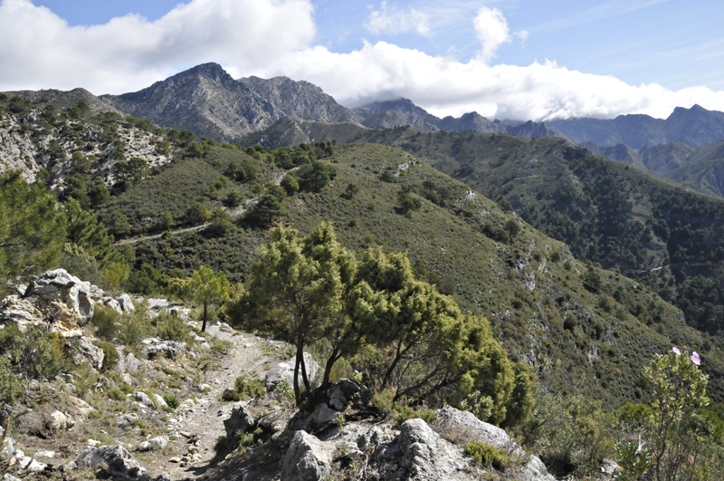
This one was a little more successful!
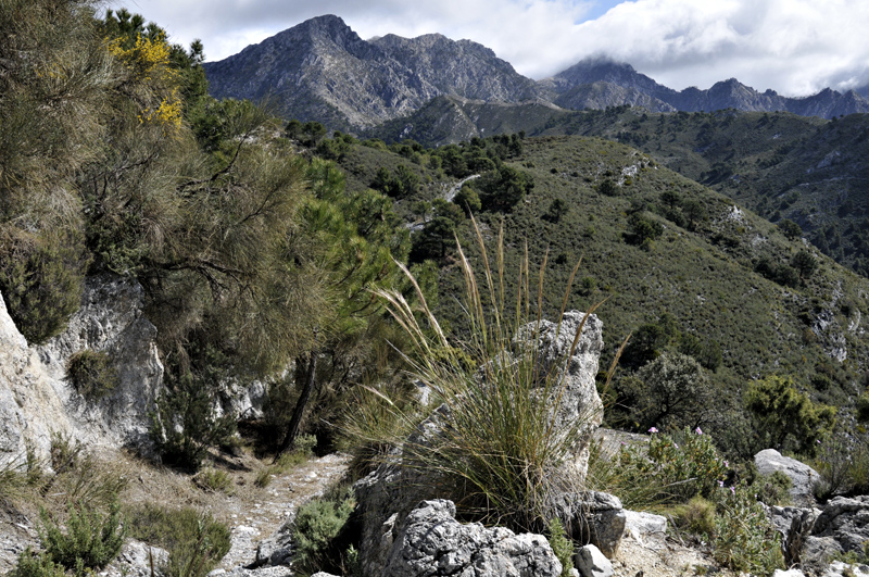
The vegetation hereabouts is dominated by several species of pine, accompanied by juniper, box and other gnarly trees. Beneath the trees are stands of pink-flowered hibiscus, abundant rosemary, broom, gorse and various evil-looking thorny shrubs. Walkers wanting to set off cross-country are advised, if they insist, to wear strong canvas gaiters which will offer a degree of protection from the thorns.
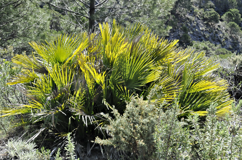
Here and there, one comes across more unusual things such as this dwarf fan-palm:
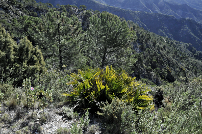
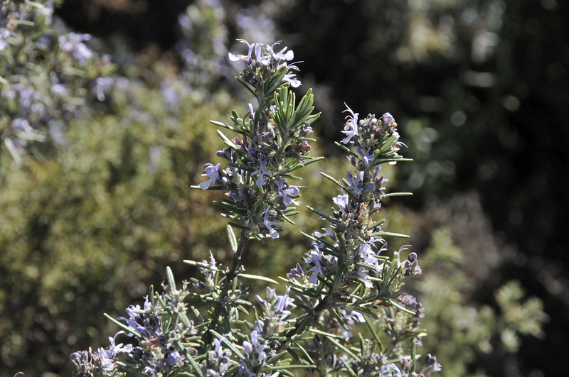
Rosemary - it is everywhere...
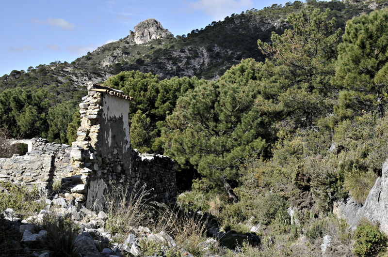
This, Venta Pradillos, was once a thriving wayside inn/store on the trade-route. Later, in the aftermath of the Civil War, rebel groups still hung out in this country, making use of both buildings and rock formations such as caves for hideaways/strongholds. As a consequence, many such places were part-destroyed by Franco's forces, such acts taking places up into the 1950s. Hard to imagine, in such a peaceful spot, that this was once a place in which guerrilla warfare was an everyday thing. In the background is the rocky, tor-like summit of Cerro Atalaya (1255 metres). Many summits are like this: it seems that they are bits of more resilient limestone that have better withstood the weathering of millennia....
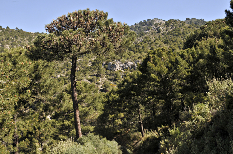
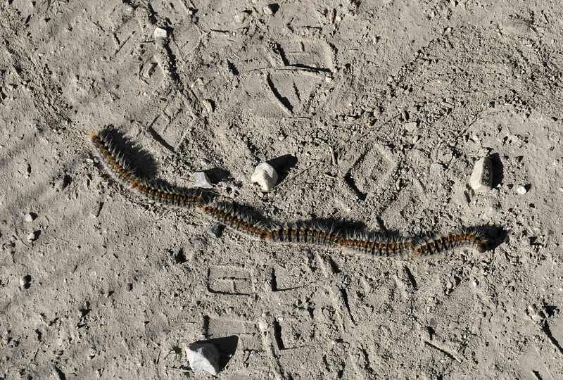
This wild paradise does boast one particularly unpleasant inhabitant, the most dangerous thing in these mountains, unless you step on an adder or upset a wild boar sow with her young. In the image below, the pine tree looks to be rather poorly with extensive brown areas and white cocoons. The cocoons are in fact 10-20 centimetres long. They are the protective nest of the caterpillars of the Pine Processionary moth...
....seen here in procession. This they do every spring, as they leave their nests, make their way to the ground and set off to find somewhere to pupate. They are not just any old hairy caterpillar - beware! The hairs contain various strong allergens: not only that, the caterpillars can fire them at anything trying to disturb them. Do not even think about handling them: any contact can cause a severe skin reaction. In dead specimens the toxins remain active for months and in areas where they are common, track-dust blown up by the wind can bring hairs into contact with the skin, as I found out. I treated the itching with the Eurax cream I normally use for tick-bites and other unpleasant encounters. They also pose danger to the eyes and respiratory system. Take a photo and move on, leaving them well alone!
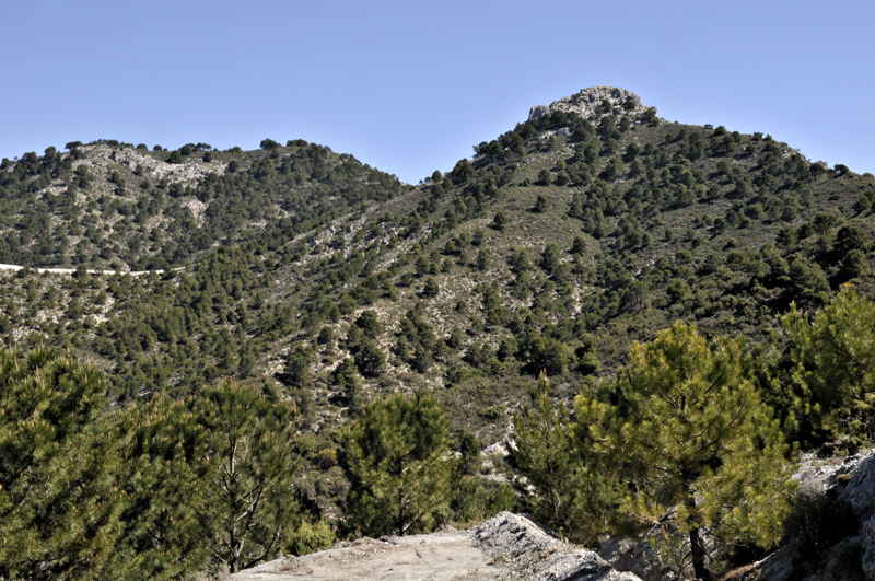
On one very hot day I took the downhill route from the fire observation-hut, heading gradually towards the next village to the west of Competa, Canillas de Albaida. This proved to be a pleasant descent, ideal for wildlife-watching in the blazing sunshine. This is the start of the descent:
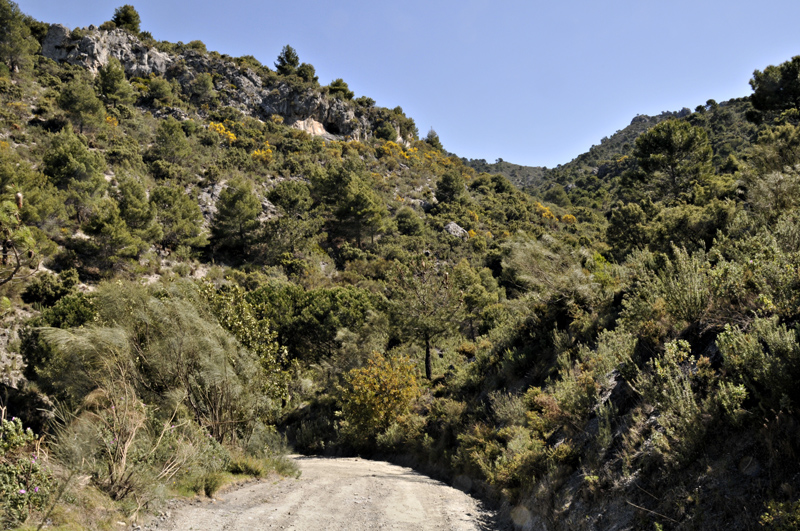
The track zigzags its relentless way downhill, passing densely-vegetated valleys, complete with their dry stream-beds (this is quite normal in the semi-arid climate of the region).
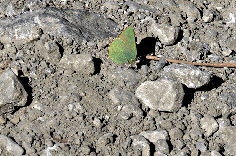
On this walk I saw a tremendous variety of butterflies, few of which would settle but the sense of a thriving ecosystem was strong. This green hairstreak was more laid-back, circling around me then settling down in the middle of the track to soak up sunshine:
A bit later I encountered a Moroccan orange-tip busy feeding on a solitary flower. Though I saw many on this walk, this was the only one that kept still for a moment!
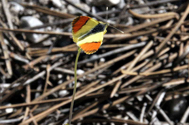
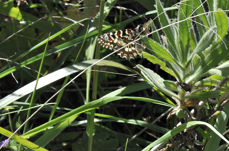
This one's a Spanish festoon, a beautifully-marked butterfly. At least I got an underside shot of it! The swallowtails and clouded yellows, on the other hand, remained enthusiastically airborne in all cases.
After the final bit of the walk back into Competa, the chilled beer in the Square was especially welcome!
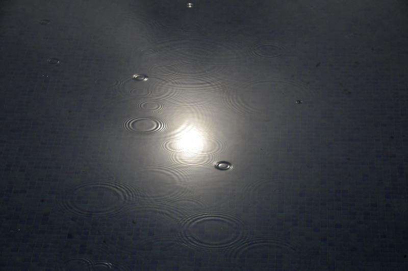
I can now turn to something a bit unusual: a wet day. It was well-forecast, with a low tracking across the Iberian Peninsula then off up the Mediterranean. The first drops of rain, from elevated showers, started not long after sunrise:
Within an hour or two, this turbulent deck of cloud spread eastwards across the entire district:
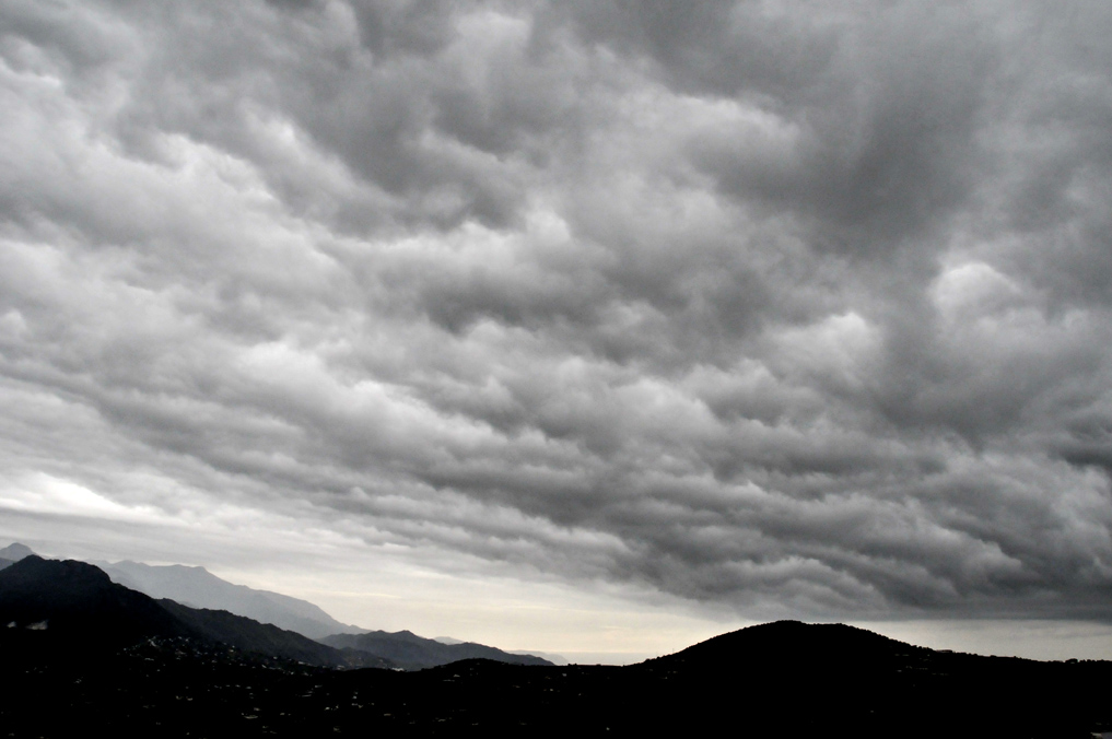
And before too long, this:
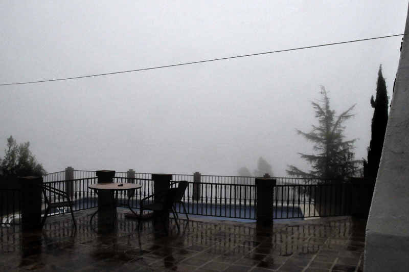
The dense fog and rain, accompanied by strong winds, lasted all day. We are all at various stages in writing projects so we worked away until evening, when we just had to get out. By then, the rain was torrential at times and the road into Competa had to be navigated with care due to small landslips and the occasional boulder in the road. The waters gushed through the steep streets of Competa, where we ate and drank until well after dark. Heading back along the narrow roads of the Campo, with the rain continuing and visibility down to about ten metres at times, was a bit interesting, especially knowing the drop on the downhill side of the road!
By the next morning though, the clouds were breaking up, with patches of the country illuminated by rays of sunlight and temperatures started to recover.
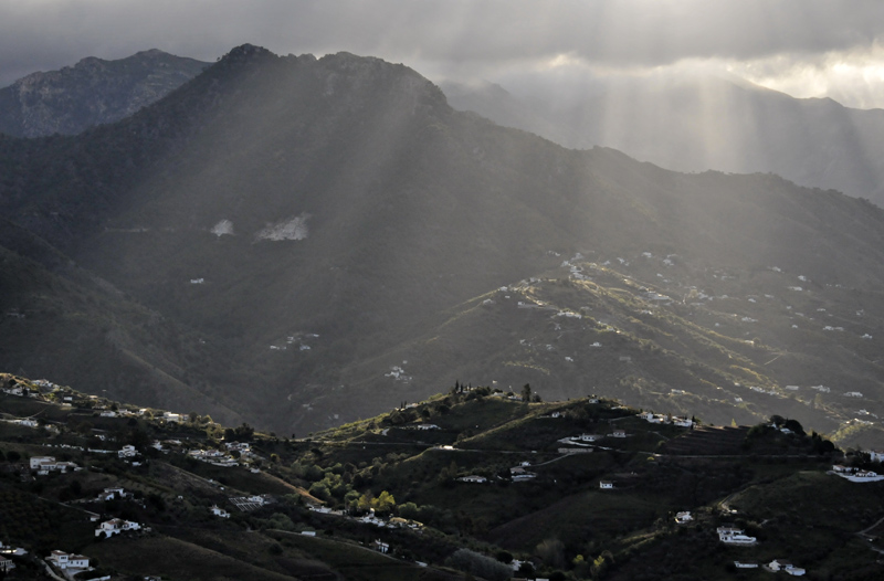
Bright evening sunlight on Cerro Cisne. The rain had cleared a lot of the haze out of the atmosphere.
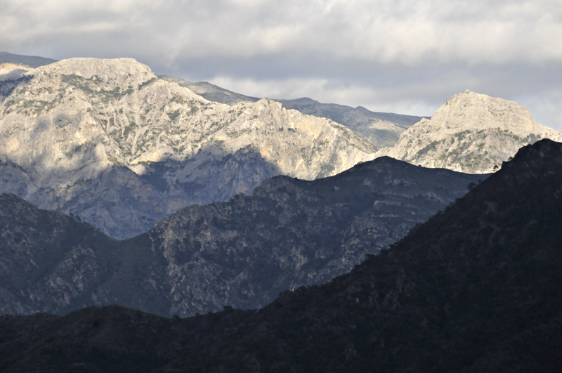
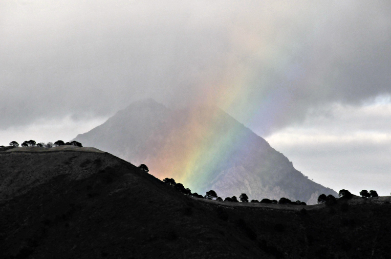
Residual showers drifted by during the following day, including one that graced Lucero with a bright rainbow...
The following day dawned bright and warm. We headed to the north-west of Competa, to the now closed campsite of Fabrica de la Luz - literally Factory of Light. It was originally a hydro-power generating facility. Not sure why it closed as a campsite, but it is a very popular picnic-spot, especially at weekends. Here, the river actually had water flowing along its course:
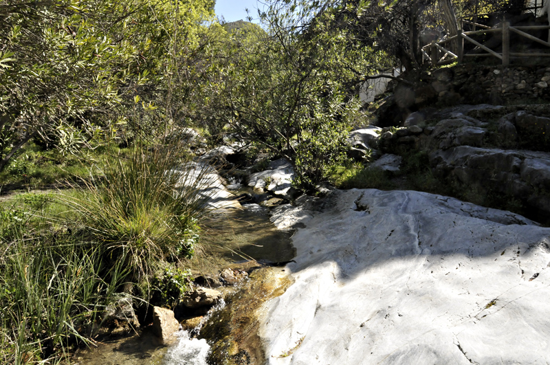
The tide-marks suggested it had been much higher after the recent deluge. These rivers flash into raging spate then dry up within days of a rainfall: it's a pattern you see everywhere in the Sierras Tejeda and Almijara. There are some larger rivers that almost always have some water in them, but they are often fed by groundwaters issuing from the karstic systems.
This is the main building and terrace at Fabrica de la Luz:
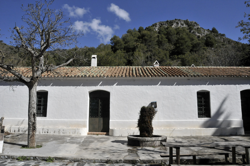
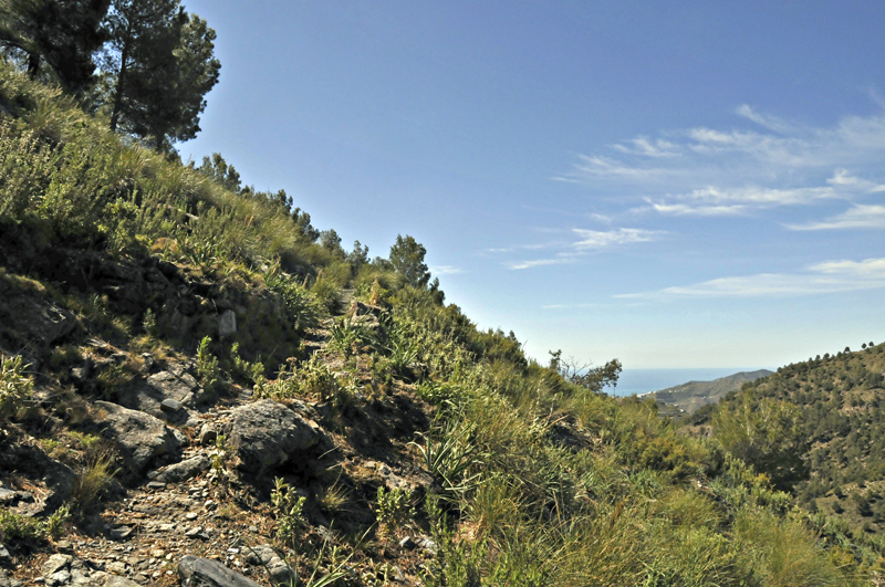
The aim on this occasion was to push right into the heart of the Sierras. At the head of the valley here is the Puerto de Competa, marking the boundary between the two mountain ranges, the boundary between the provinces of Malaga and Granada and a key point in the old mule trade-route from the coast to the interior. From Fabrica de la Luz a waymarked path quickly gains height as it pulls up out of the valley:
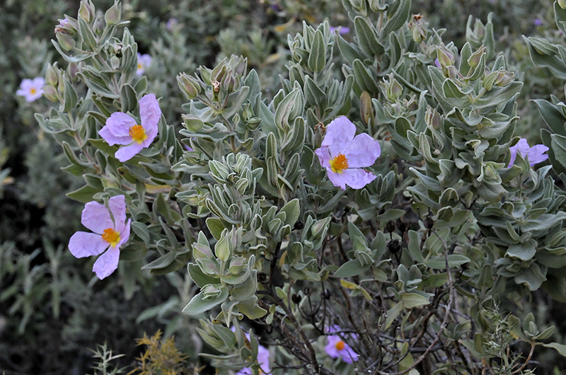
The flora was by now mostly familiar: hibiscus everywhere..
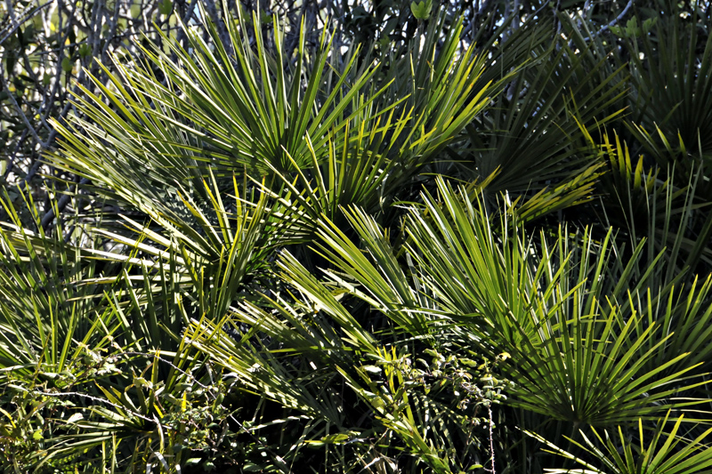
More dwarf fan-palms....
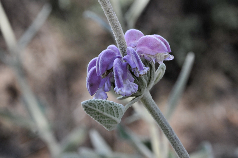
Rosemary, thyme, juniper and all the usual suspects were in abundance. No idea what this was, though!
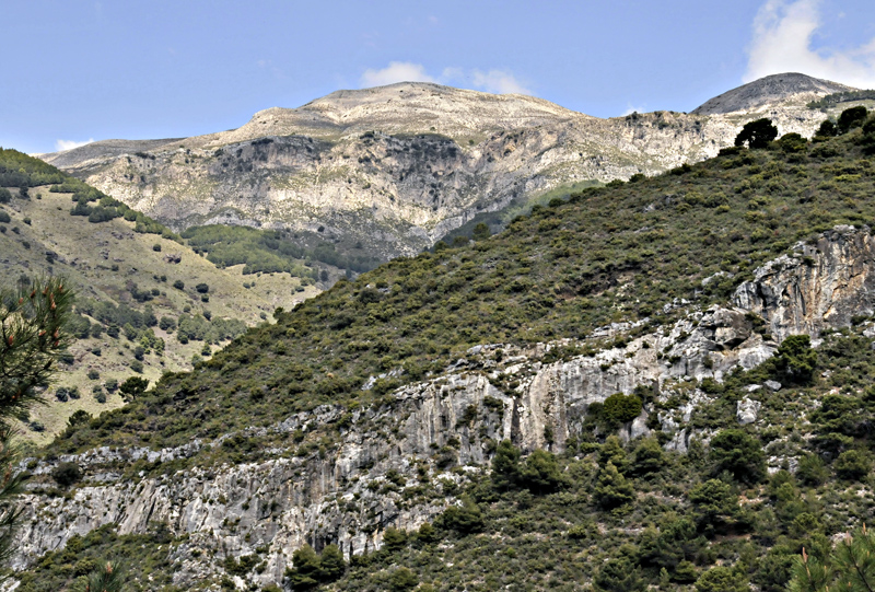
The path leads up to another forest-road, running increasingly high along the valley-side and leading towards a much rockier landscape:
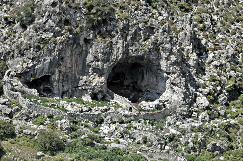
Caves were everywhere, some small and others huge. This one is the Cueva del Melero, its bee-keeping association long since redundant in favour of it being part of a corral for livestock:
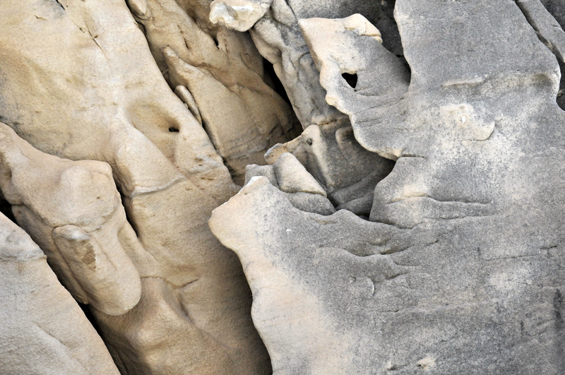
Karstic weathering in the marble along the side of the forest-road:
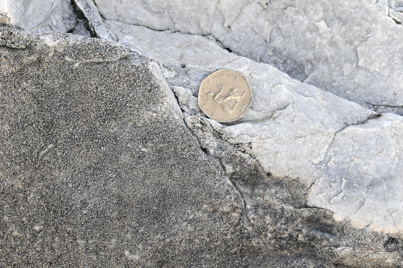
Here, the origin of the sand that is so abundant everywhere can be explained. The marble, with a white, freshly broken surface R of the coin, contains sand grains too. Once the marble weathers, the sand-grains, being composed of quartz and other chemically-resilient minerals, are liberated in vast numbers. They can be seen standing proud of the darker, weathered surface L of the coin.
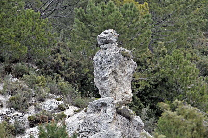
The weathering also creates all sorts of weird and wonderful pinnacles, standing silently here and there among the trees like petrified trolls!
Gaining height as we headed up into the mountains, the landscape gradually changed. Trees became more scattered and shorter while great expanses of rock became the norm. Puerto de Competa is the prominent notch on the horizon, in the middle of the image, with an artificial conifer plantation to its left.
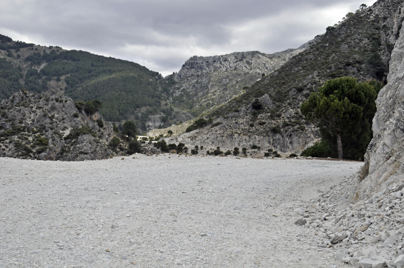
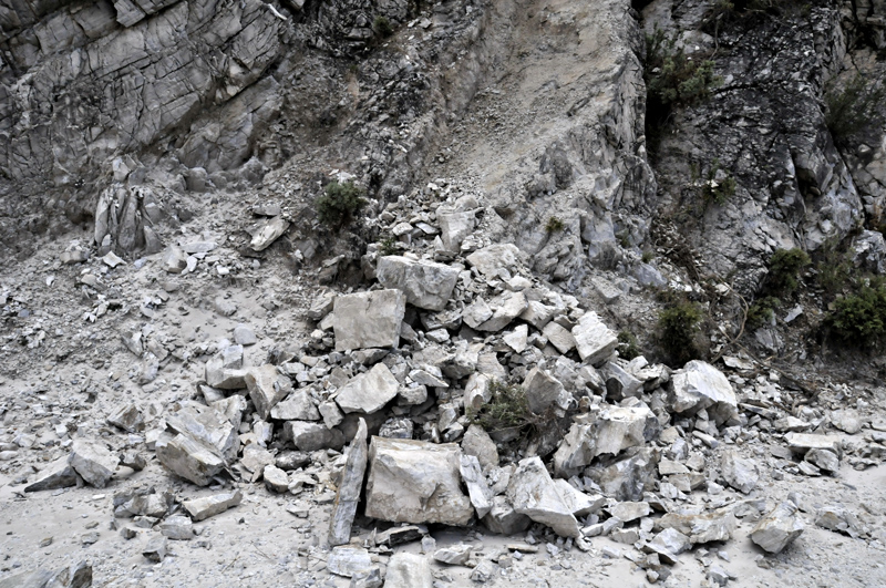
Here and there, very recent rockfalls had left the track strewn with boulders. We guessed that these had occurred during the big rainfall a day or two earlier...
Once again, the tor-like summits were evident everywhere. There's also a closer view of a pine processionary caterpillar nest in the pine to the R.
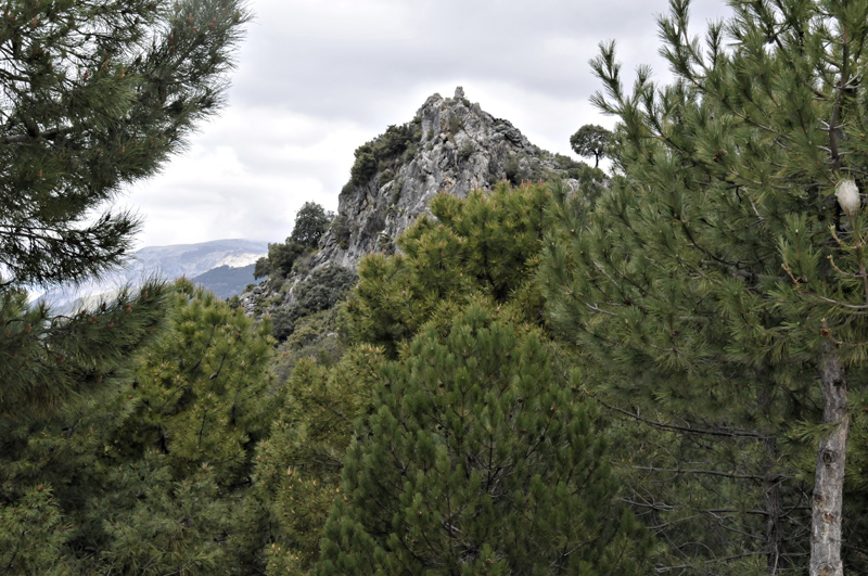
I climbed onto one of the summits just above the track, simply marked as an 1198 metres spot-height on the map. A quick thrash through the thorny undergrowth was followed by an entertaining scramble onto a narrow summit ridge crowded with little pinnacles and a sheer drop on its other side. This view southwards to Cerro Verde's rocky summit again features the problem with blown highlights in the clouds: again this shot was the underexposed of the three! I think I'd have had more options shooting in RAW as some exposure compensation could then be applied to the sky during post-processing - not an option when shooting in JPEG.
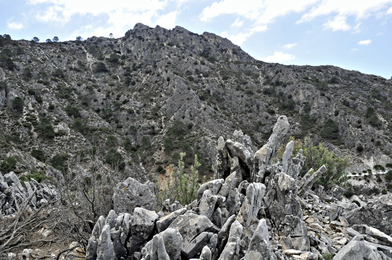
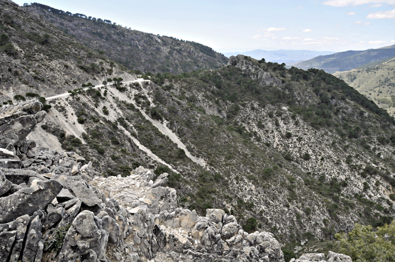
From the same summit, the view back along the track we had used:
And looking north-east towards the crest of the range with Lucero's rocky pyramid in the now nearer distance. I'd like to have seen this view in better light. This is clearly the easiest means of approach for the high summits. Local guides bring people up to the end of this track by 4x4, thereby cutting out a lot of miles of track-walking. The route climbs up to the Puerto de Competa, drops down a little on the other side then strikes up the popular, waymarked route up Lucero. Having said which, on some of my walks, I saw nobody else all day. These mountains seem almost deserted at times.
Spring is a great time to be in the Sierras Tejeda and Almijara. The flowers are everywhere, the light is often good (despite some of the problems described above) and temperatures while warm are mostly manageable. The summer months are said to be far too hot and because of the fire risk, periodic closures occur in some areas.
Any walkers thinking of a trip in this district might find the following information useful. Sunburn and dehydration are serious hazards. I used a factor 50 sunblock daily and dread to think what I'd have ended up like without it! A baseball cap was worn much of the time and a simple white shirt reflected the sunlight effectively, with a waxed cotton body-warmer to carry maps, compass and all the other clutter I tend to have on me. I took two litres of water with me every time I went out. There are very few natural water-sources anywhere in these hills: the occasional well-marked spring is about it. For the exploratory walking I did, up to 15 kilometres a day, my rigger-boots did me proud. However, for a more prolonged summiting campaign, well broken-in climbing boots would be needed, plus strong gaiters to defend against thorns. Ticks are said to be a problem in some areas, but I simply squirted a stack of Mosi-guard cream into my boots and had no trouble. I found a stout wooden staff a better aid than the flimsier walking-poles, which I've never rated personally. On one occasion I was approached by two somewhat aggressive and possibly feral dogs: a few threatening swings of the staff and they soon decided to keep out of range. And keep away from those hairy caterpillars!
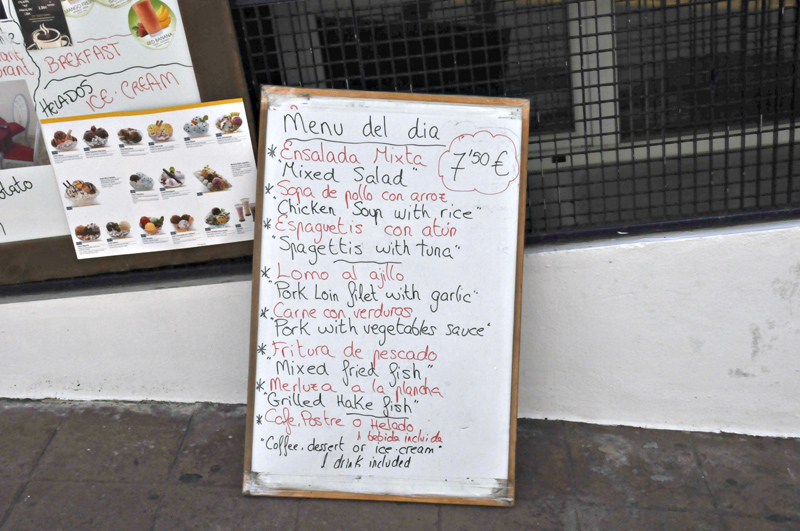
Finally, most walks ended down in the Square at Competa, where the cafes carry on serving regardless of the siesta. This is but one example of the fare on offer and I can report that after a few hours' walking it is all very tasty, washed down with a pint of San Miguel accompanied by the complimentary bowl of olives that are a feature of all such places, while overhead the sun keeps on shining away.
So this part of the world scores on many fronts: good weather mostly guaranteed at a time of year when Wales can be chilly and damp, relatively easy affordability in terms of day to day living, great food, walking of all grades from easy to mountaineering and stunning biodiversity in what is, despite the network of forest-tracks, still pretty much a wilderness. I'll be back!
BACK TO WEATHER-BLOG MENU
New! Fine Art Prints & digital images for sale-
Welsh Weather & Dyfi Valley landscapes Slide-Library - Click HERE