and a likely supercell over Penmaendyfi
BACK TO WEATHER-BLOG MENU
The Welsh Weather & Dyfi Valley landscapes Image-Library - Click HERE
Well summer has been and gone! The best weather-event here in the Dyfi Valley occurred overnight on July 23-24 with an extraordinarily intense lighning display. It began around midnight and lasted for a good two hours. There were periods lasting for a few minutes in which lightning suddenly became very frequent in specific areas of the sky (a flash every 1-2 secs) then abruptly died away to nothing without any slowdown. This happened time and again. These flashes were all intra-cloud and very high up (cloud tops were to >40,000 feet) and my guess was that such periods of high activity may have represented individual updraughts reaching mature height. More isolated multi-stroke CGs (all the ones I saw consisted of several bolts arcing down their channels) were issuing forth from different parts of the overall storm system i.e. different zones were producing different lightning types. I didn't take any photos but sat out and gawped at the show from start to finish - easily the best lightning I've seen since the year 2000!
A probable supercell that affected the Dyfi Valley on August 10th is discussed below. First, I have a new book out. Readers may recall that last summer I worked at Ynyslas Visitor Centre for a few weeks. I noted the lack of any geological interpretation and said I'd like to put that right. However, the job keeps you so busy that it wasn't possible to do anything. Then I interviewed for the same job this year - and was the runner-up! So I decided to do the interpretation myself.
I had all the material from a manuscript I had laboured long and hard on during 2014-2016, but I just couldn't get a publisher interested. Wrong genre, too long, brexit, all sorts of reasons kept coming up! So I had a rethink. Why not instead break the work up into chunks, each linked to a place with plenty of visitors? And so, this was conceived:
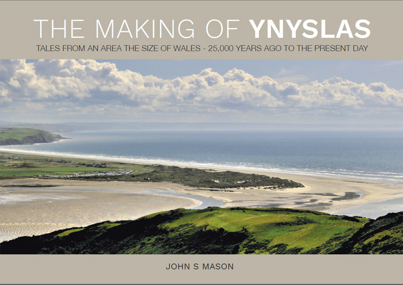
The Making of Ynyslas brings to life the remarkable tale of the origin of this popular destination on the Cardigan Bay coast of Wales. It's a journey through deep time, from 25,000 years ago when Wales had an ice cap, through the dramatic changes in Earth’s climate that resulted in the familiar landscape of today. Along the way, the reader learns the fascinating history of the drowning of a vast plain that once stretched from today’s coastline out towards Ireland, its only visible remnant now being the famous Submerged Forest. Drawing upon the extensive scientific literature on Cardigan Bay, this book is a vivid narrative of that transition - what happened, when it happened and why - and how such changes may have been reflected in Welsh folklore, with the legend of the Kingdom of Cantre’r Gwaelod and its terrible fate.
It's been beautifully laid-out by graphics designer Sara Holloway - a pleasure to work with! Costing £7.50, Ynyslas Visitor Centre have it on their bookshelves, and several other local outlets have it too (Cletwr; the Friendship and Adrift Gallery in Borth, the fishing tackle shops in Aberystwyth and shortly, Ceredigion Museum) but for anyone more remote from this district, you can buy it online from Coch-y-Bonddu Books in Machynlleth - click here to go straight to the correct page on their website.
If it goes well, I may follow-up with one on Snowdonia as again, the material's all there and just needs collating and editing.
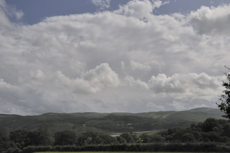
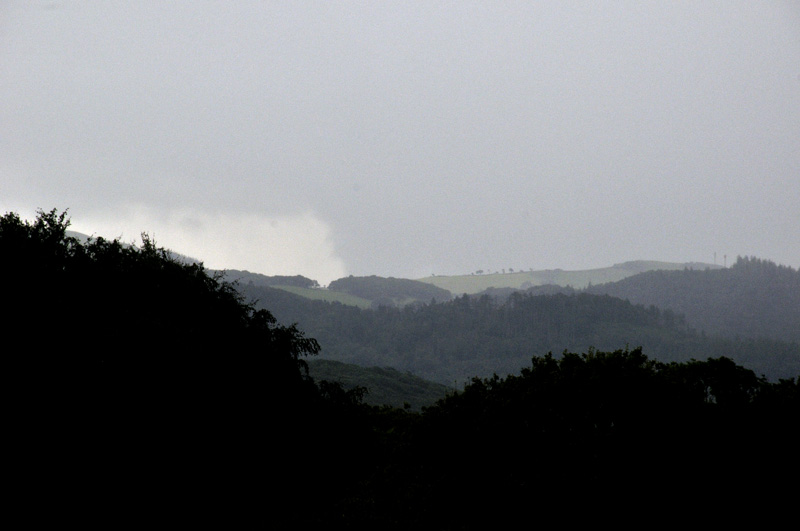
August 10th's probable supercell was noticed on radar as one of a group of storms heading up from South Wales. Watching Netweather radar, a highly recommended subscription service offered by that website, I noticed that a split occurred on one of these cells which garnered my interest as the right-hand cell was heading straight towards HQ!
In the image below, the RH cell is approaching over the Cambrian Mountains. Its anvil may be seen: it's a solid-looking beastie!
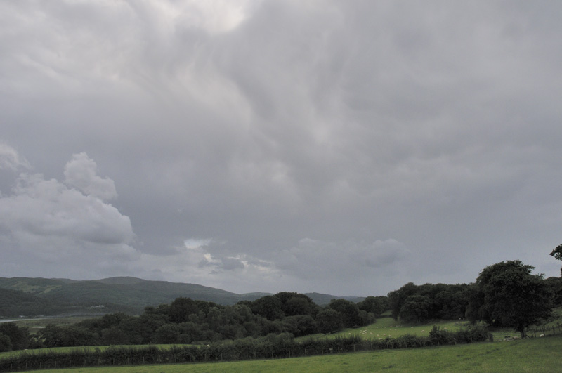
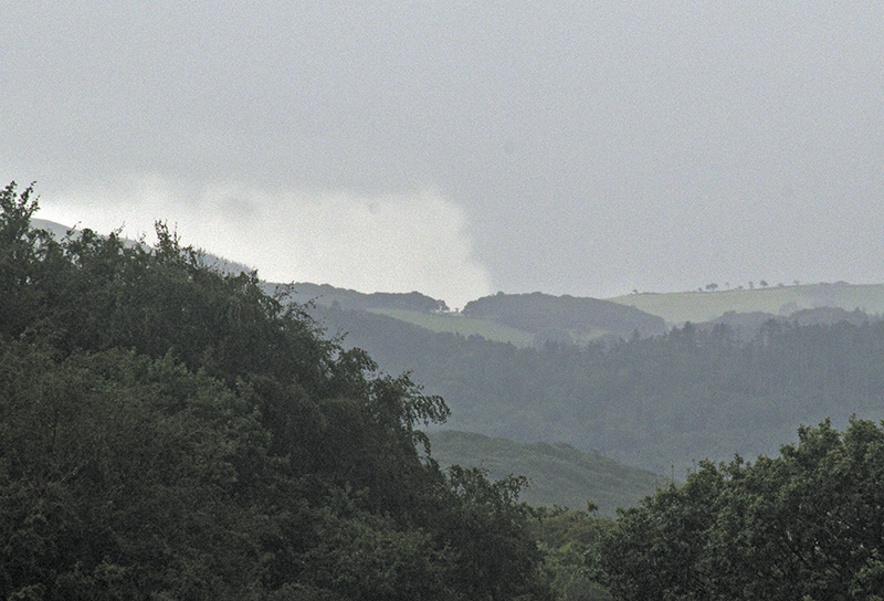
The view out south-west, with the left-hand storm also visible and turbulent skies overhead.
Shortly afterwards, the anvil of the RH storm was overhead:
This is an interesting shot. Unfortunately, precipitation was obscuring parts of the view to the R.
Zoomed-in. The lowering to the R does look like a large wall-cloud
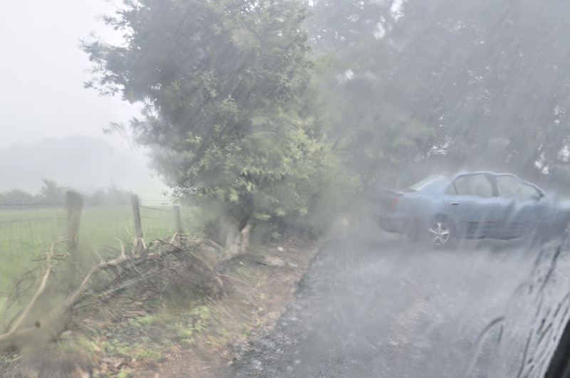
Shortly afterwards came a several minute-long downpour of remarkable intensity. What made this rain stand out is that it was coming down at about 45 degrees from the north, accompanied by a gale-force northerly wind. Given that storm motion was northwards, so this rain was falling in the opposite direction of the storm's course and from its back end, it's quite possible this was rear-flank downdraught coming round the back of the cell. I took this shot from inside the car:
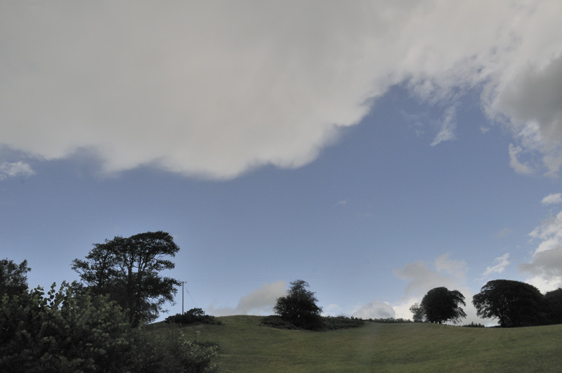
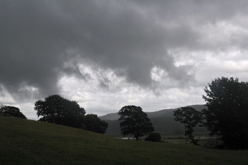
Once that had finished, the skies began to clear but with lots of menacing-looking scud visible to the south:
Given all of the above features, plus a favourable kinematic environment for supercell formation, I'm pretty sure it was one. A shame not to get a better view of it. Nevertheless, the most interesting storm I've experienced for several years!
More soon.
The Welsh Weather & Dyfi Valley landscapes Image-Library - Click HERE
BACK TO WEATHER-BLOG MENU