Spring 2008
part 2:
dramatic frontal clearance and distant thunderstorms
BACK TO WEATHER-BLOG MENU
New!
Fine Art Prints & digital images for sale-
Welsh Weather & Dyfi Valley landscapes Slide-Library - Click HERE
May 4th 2008
saw a notable outbreak of thunderstorms up the spine of the UK whilst
here in mid-Wales I sat under thick clag all day. Storms were firing in
the warmth across Shropshire and as the cold front that brought the
clag showed signs on satellite imagery of clearing from the west, I
thought an evening trip to the top of the Machynlleth-Llanidloes
mountain road might bring a few results....
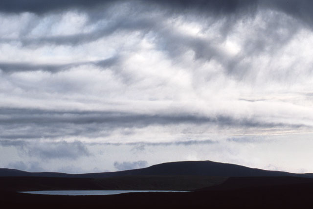
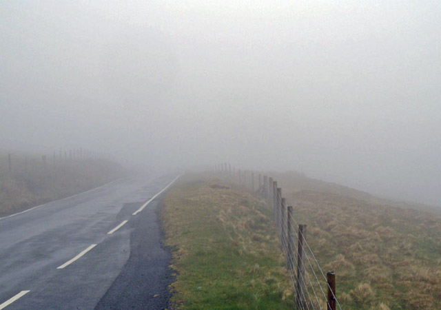 The view on arrival. Time to sit it out and wait for the back end of the front to pass over.... |
|
 |
|
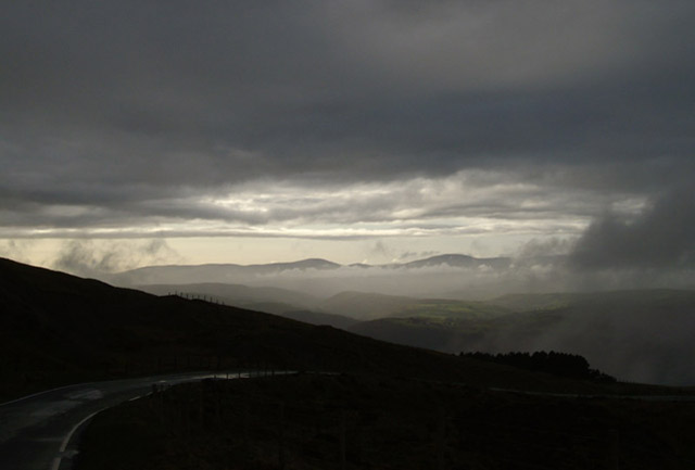
As it did! 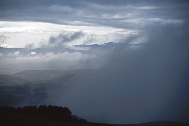 And the mountains begin to appear, range by range.... |
|
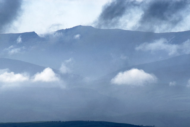 Cadair Idris through the telephoto lens..... |
|
 Up on the top, interesting waveforms appeared, marked out by these undulating wisps of cloud. Waves are a frequent feature in any airflow over a mountain-range..... |
|
 |
|
More of them, with Glaslyn nestling in a hollow in the landscape.... 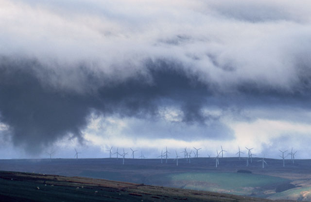 Ragged scud with the Trannon windfarm (above Carno) in the background... 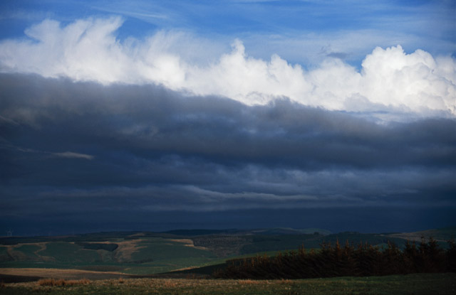 Finally the front cleared to the point where the tops of the thunderstorms many tens of miles away in Shropshire became visible above its grey nimbostratus....  Back on the other side and a clear evening descends over the country around Machynlleth and the Dyfi Valley... 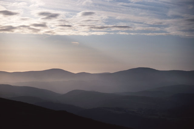 View of the Tarrenhendre ridge on the N side of the Dyfi Valley..... 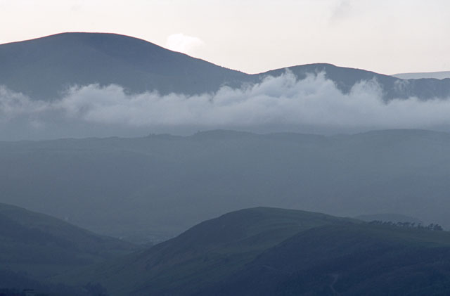 ...and a telephoto of the same as dusk falls on the valley. Not a bad little shoot, then: frontal clearances often provide something of interest, with the light constantly changing as the process goes on. It's worth having a camera ready for such occasions!  3 days later (May 7th) widespread convection looked likely but struggled to get going despite the heat. I went out in the afternoon for a scout around and decided the most intense towers were forming to my north, towards Dinas Mawddwy, so I opted to head for Bwlch y Groes - the highest tarmac public road in Wales, and with a good view at the top.... 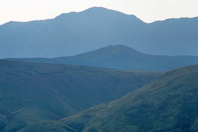 ....normally! The hazy view from the summit of the pass to Aran Fawddwy through a 300mm lens. Where are the towering clouds now?? This is a good example of why mobile internet access would be a useful thing for me to acquire, although I've not done badly without it: storms finally fired SE of Aberystwyth and move N across the hills and lower Dyfi Valley. I could soon see them in the distance, so an about-turn was executed.... 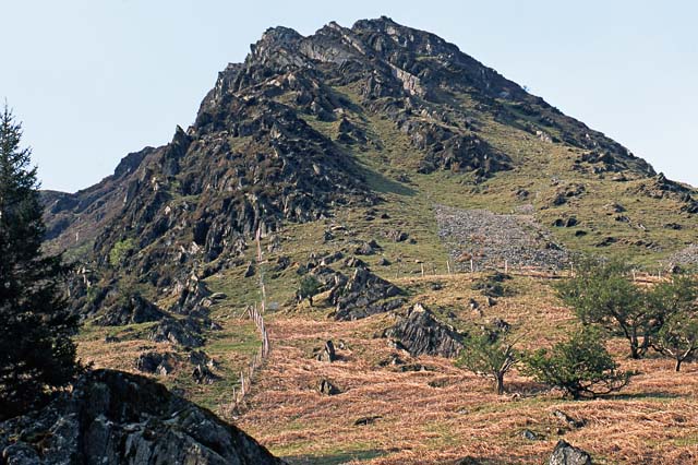 ....back down the steep pass, past the steep mountainside of Tap nyth-yr-eryr (above) and on via Llanymawddwy to Dinas and the A470. Now the storms were clearly in view. One isolated one was heading straight for Machynlleth with the others some way to the west. I continued on and when I reached Machynlleth I headed straight for the golf-course....  ...where I just managed to squeeze this in using my ultrawide! Thunder boomed in the distance and a few large raindrops fell from the cloud, but it was a weak cell and soon fizzled out. The next chase was on May 11th but it'll be a while before I get the images from the day, so I'll finish off with a typical view on the coast at this time of year - if you know where to look! This is at Tonfanau, just north of Tywyn, where Afon Dysinni flows out into Cardigan Bay. 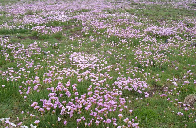 |
|
BACK TO WEATHER-BLOG MENU New! Fine Art Prints & digital images for sale- Welsh Weather & Dyfi Valley landscapes Slide-Library - Click HERE |