AUTUMN
2003 - PART 2: STORMS AT LAST!
BACK TO WEATHER-BLOG MENU
New! Fine Art Prints & digital
images for sale-
Welsh Weather & Dyfi Valley landscapes Slide-Library
- Click HERE
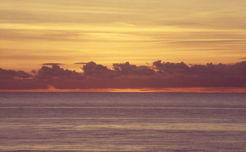
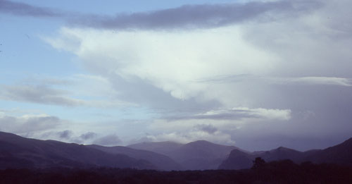
Well my prayers must have been answered! After a final
late bout of coastal sunset photography (below), zonality
at last re-established itself in early November and the
chase of November 2nd was a great one for Cb photography.
That night a trough ran through and the enhanced Cbs gave
a good display of lightning, promptly frying several
people's modems in the process.
On November 2nd, then, reasonable instability values over
the Irish Sea suggested a coastal visit, and the chosen
first target was a big layby high over the sea between
Llwyngwiril and Llanegryn, with superb views out over
Cardigan Bay.
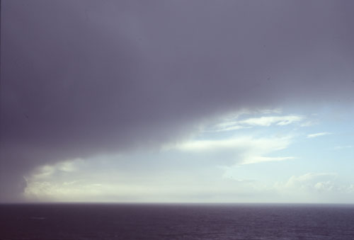
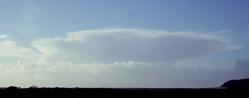
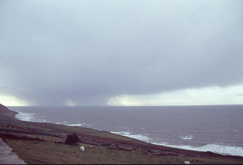 On arriving it seemed as though luck was in - there was a large Cb and torrential precipitation out to the SW - and heading to an estimated landfall a mile or three to my south. |
|
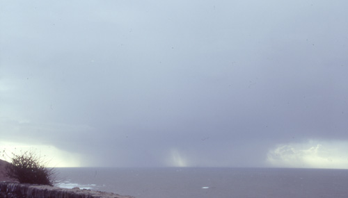 On it came, always keeping the two well-defined cores with a clearer spot in between... |
|
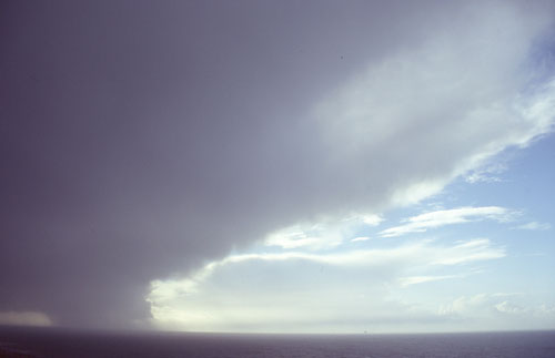
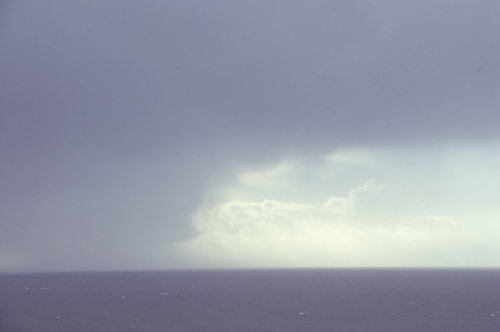 2 things of note here - firstly mammatus-cloud in profile on the anvil and secondly a funny little tail-cloud like structure on the RHS of the precipitation. |
|
 As it started getting much closer, with part of the anvil overhead, other Cbs became visible out to the west... |
|
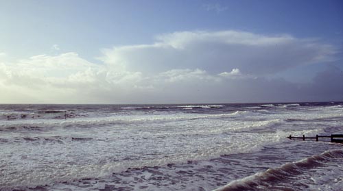
 Now very close, still with the tail-like structure R of the precipitation... |
|
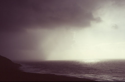 Precipitation now over land just to the south, sun blasting in from the west - making for a very contrasty image. Time to head into the tail-end of the precip to get a shot of the back of the anvil and the next approaching Cb so I shot off to Tonfannau..... |
|
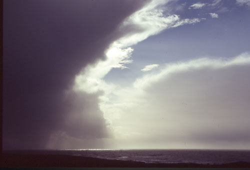 Again very contrasty, with the black wall of precipitation L and the bright sky R with the next Cb sat within... |
|
 Going back NE with the rear of the cell mammatus clouds were visible as it cleared Cadair Idris.... |
|
 Mammatus hangs over low-level clag on the summit of Cadair... |
|
 Heading back towards Tywyn a very neat if distant large Cb dominated the western horizon.. |
|
 This was the same cloud from Tywyn seafront. Its landfall would have been too far to my north to reach before daylight faded so I called it a day: the trough and lighning show were in the early hours and I slept through the lot!! |
|
| Part 3: BACK TO THE HOWLING EASTERLIES!! | |
BACK TO WEATHER-BLOG MENU |
|