BACK TO WEATHER-BLOG MENU
New! Fine Art Prints & digital images for sale-
Welsh Weather & Dyfi Valley landscapes Slide-Library - Click HERE
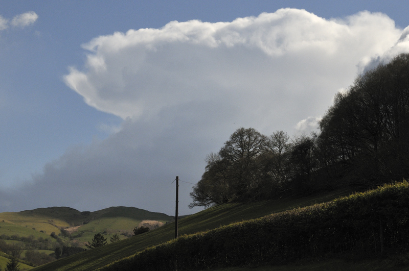
Most of the showers fell as hail...
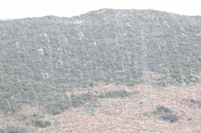
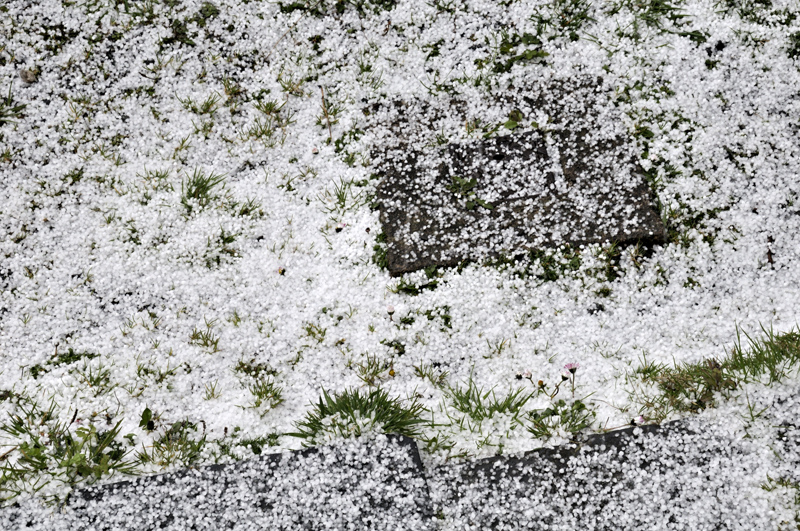
But on April 27th, there was one heavy snow-shower after another....
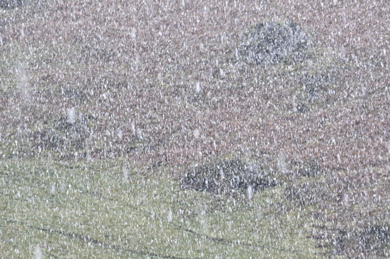
....giving a temporary covering down to low levels. Brrr!

Early May saw a switch, with a Biscay low pressure system pushing warmer air northwards at long last. Some parts of the UK saw strong thunderstorms during this period: one afternoon I headed up into the hills to see if anything would fire. Great instability was evident at low levels with towers shooting up skyward - only to run out of steam at mid-levels!

A similar synoptic pattern was in place for the end of May and on this occasion strong thunderstorms started breaking out over SW Wales and tracked northwards. One particularly intense storm developed south of Aberystwyth and rapidly became electrified. I figured it would be worth taking a look and headed south to make an intercept.
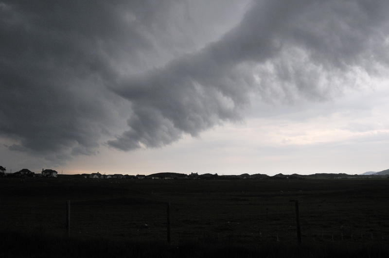
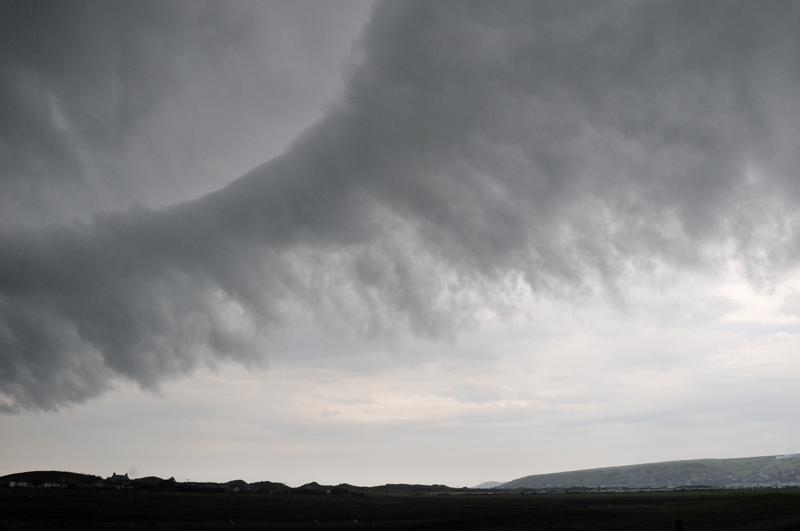
Driving down the A487 towards Tre'r-ddol the storm came into view and what a sight! A huge shelf-cloud stretched in both directions as far as the eye could see - some impressive photos were captured by others in the Aberystwyth district a little earlier. Unfortunately I was on a busy main road with the view mostly hidden by trees so there was little I could do. I turned off for Ynyslas but the shelf-cloud rapidly passed overhead. By Aberleri I stopped and watched part of the cloud detach itself from its parent:

...morphing into a smooth, horizontal roll-cloud:
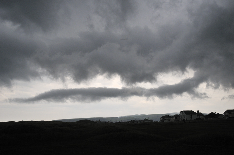
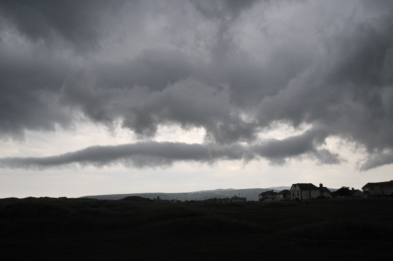
The odd flicker of lightning and loud booms of thunder accompanied these goings-on as the mature storm began to decay. Further strong cells were visible on the way home, such as this one, viewed from near Machynlleth but miles away to its south-east.
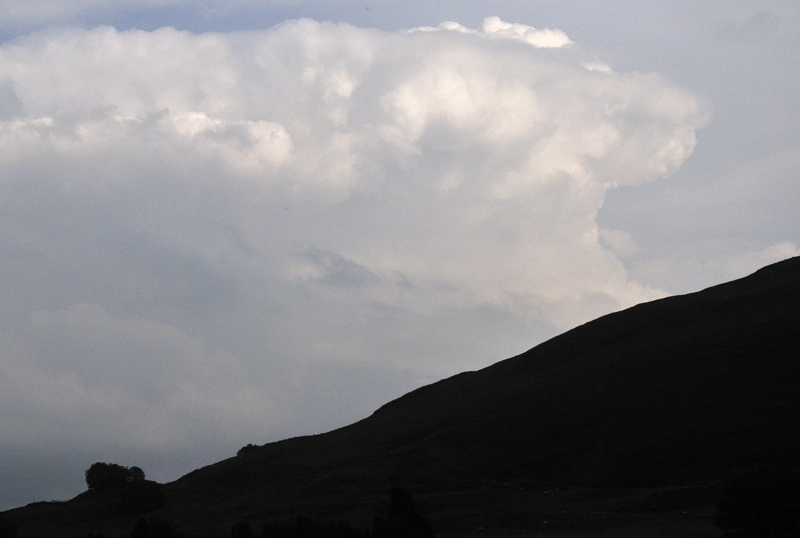
May 28th saw a repeat performance with heavy showers and thunderstorms breaking out by the middle of the day. Having had to go to Aberystwyth, I trailed lazily back via Borth, where I parked-up and watched developments:
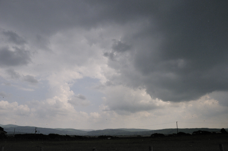
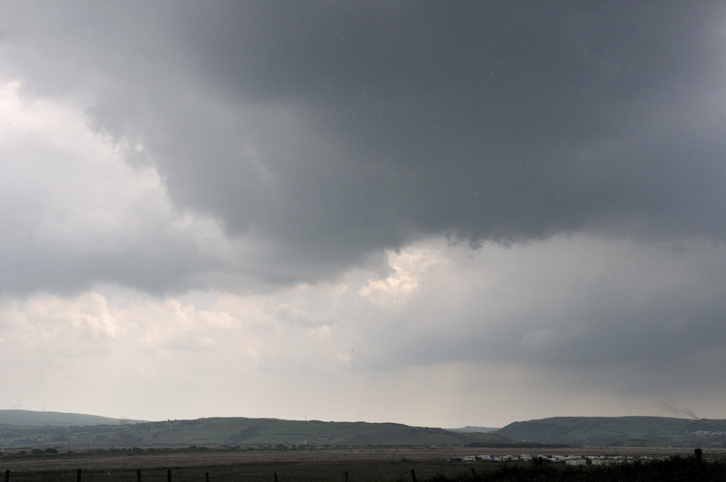
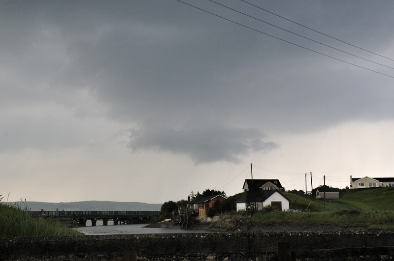
Out to my west, to the right of the above updraught activity, a very intense cell erupted and soon became electrified. I sat and enjoyed the light-show, before the precipitation-core rapidly began expanding in my direction, cutting off visibility and forcing a move eastwards. A friend was out on the sea off Ynyslas, fishing from his small boat, throughout this storm. Quite an experience by all accounts!

As I vectored north and east, outflanked by the rain, it became clear that new downpours were forming and maturing very quickly along rapidly-advancing outflow-boundaries. Here - at Glandyfi - an outflow boundary is moving L-R and scud is lifting rapidly into the air ahead of it:

The rain soon arrived again and by now the outflow had taken the shape of a ground-hugging gust-front, ploughing its wat eastwards along the ridge of the Tarennau:
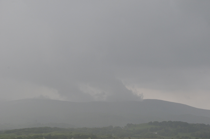

Running ahead of the storm system, I regained better visibility the other side of Machynlleth in time to enjoy the last few lightning-strikes and hear the thunder rolling around the hills. Not the most photogenic of days but enjoyable, nevertheless.

Action of another kind was encountered the following day near Tywyn where I was doing one of my guided shore fishing trips:



June 6th saw more convection firing up, as seen from the Forge-Machynlleth road:
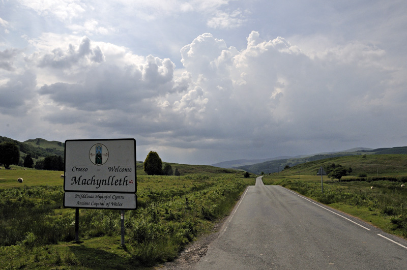
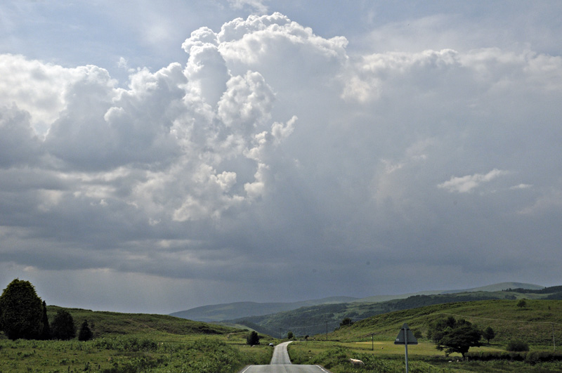

It quickly morphed into a quasi-stationary clump of heavy showers: I tried moving up into the hills but visibility was rapidly deteriorating:

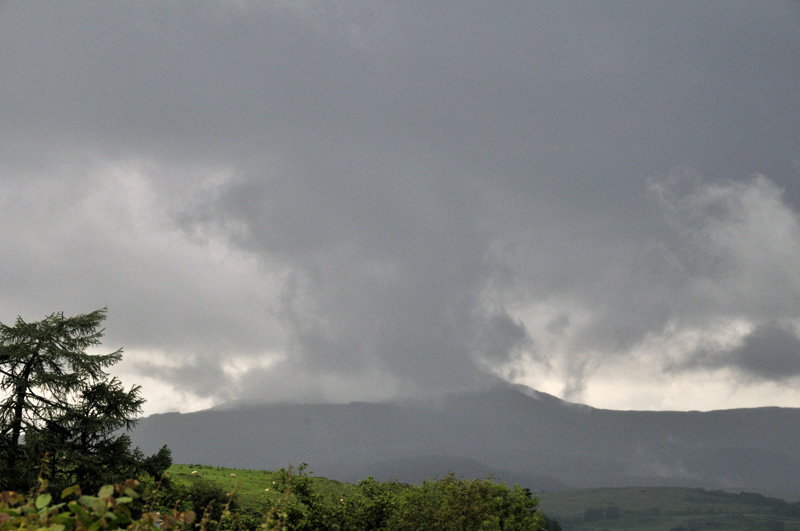
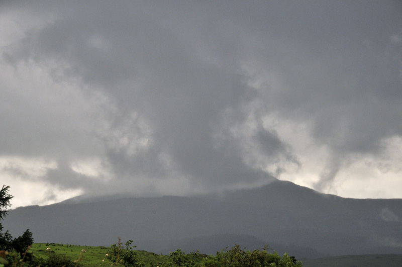
That afternoon though, an interesting columnar mass of scud formed over Tarrenhendre, making the mountain look distinctly volcanic in nature!

On the 23rd, having voted, I met USA-based Skeptical Science colleague Doug Bostrom, who was in the UK for a few days and we went off in the afternoon for a look at Borth's submerged forest. It was a warm sunny afternoon and this was the first thing that greeted us on setting off along the footpath to the beach:
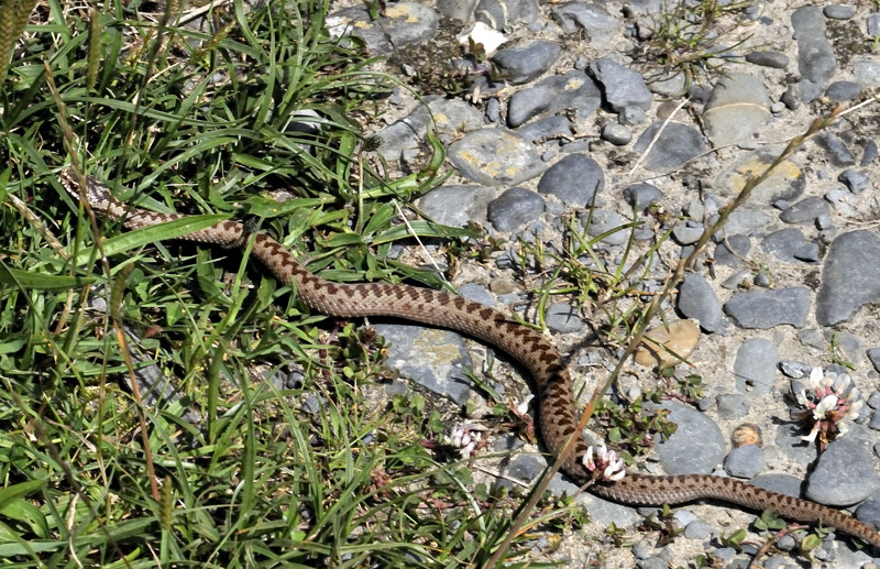
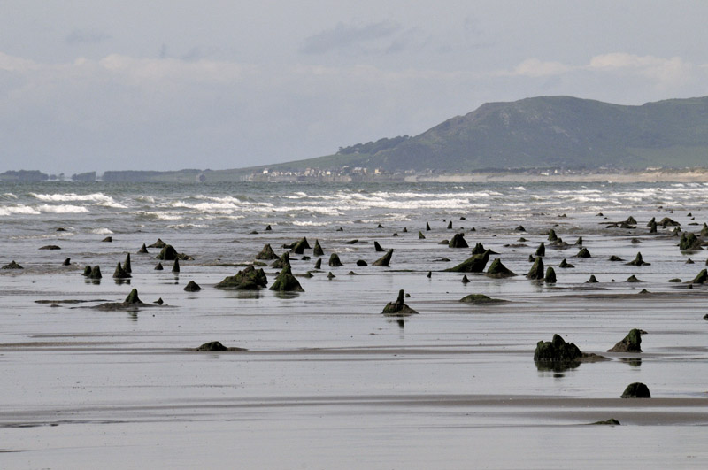
Only a little one but still not something to mess with. It, being more frightened of us, soon headed off into dense cover. There's a lot of forest visible this year:
In the garden it has been a phenomenal year for anything that grows - I have never seen anything like it in the seven years I have tended the plot. This pile of biomass is huge and over a metre in depth. It should make some decent compost.

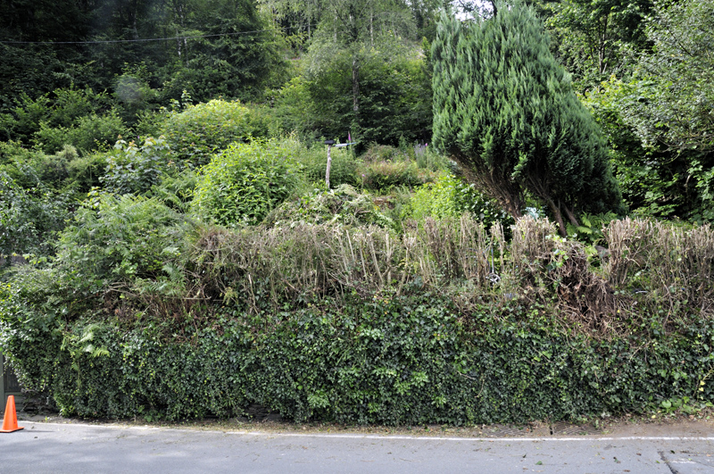
The hedge along the front was more than in need of its annual trim so this time I cut it right back: an enormous pile of brash is on the LHS behind the hedge and another has been carted to the top of the garden:
Only one way to deal with this stuff:


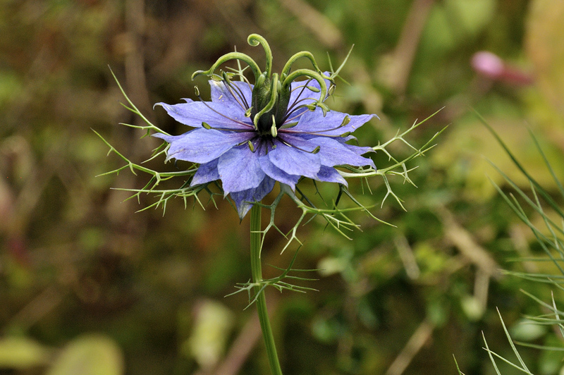
In total it took four hours to burn it all! In among the things springing up is this, which I am told is love-in-a-mist. It's not in the way where it has seeded itself and adds a nice splash of blue among the myriad red campions.
The unsettled weather is back again this morning. One gets used to these things! More soon.
BACK TO WEATHER-BLOG MENU
New! Fine Art Prints & digital images for sale-
Welsh Weather & Dyfi Valley landscapes Slide-Library - Click HERE