BACK TO WEATHER-BLOG MENU
New! Fine Art Prints & digital images for sale-
Welsh Weather & Dyfi Valley landscapes Slide-Library - Click HERE
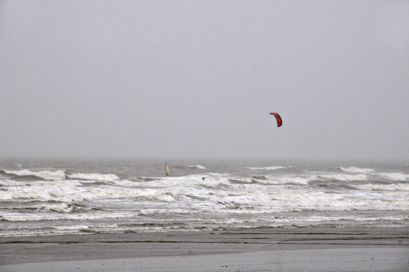
above: summer 2012 summed up?
Borth beach, June 16th
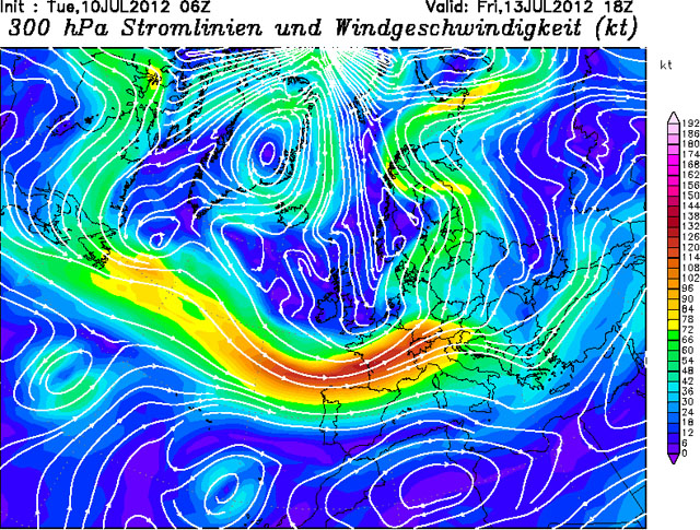
It's July 10th and the relentless rain alternating with gloom continues with yet another slow-moving area of low pressure stuck over the UK, jammed in the base of an upper trough that appears to have applied for UK citizenship, with a deep meander of the Polar Jet diving round it and putting us on its northern side, a position that is usually experienced by places such as the Faeroe Islands or Iceland. It's not the first time this has happened either: it seems to have become a recurring feature of recent summers. Elsewhere large positive meanders have brought record-breaking heat to parts of the United States, but the only records we are breaking are for rainfall!
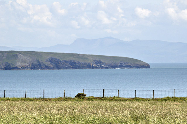
Such summers offer a challenge to any outdoor-lover and I'm fortunate to be able to put my current work - mostly book-writing - down when a decent day is forecast (about twice in the last four weeks!). The last time I was able to get out rock-fishing in the NW was on the 18th, when the mackerel were scarce but I managed a few from a spot near Aberdaron. Reasonably clear conditions offered fine views from the clifftops over towards Mid-Wales, including this unusual aspect of Cadair Idris through the telephoto lens:
Calling at Pwllheli on the way back, to see if any sea-bream were around, I hooked into something rather more substantial that on getting close to the shore went berserk and took off, completely straightening out my tiny bream-hook.Two days later I returned with heavier tackle and had hardly a bite all day! However, as the evening wore on the skies became quite dramatic, as thundery rain started to move up from the south-west:
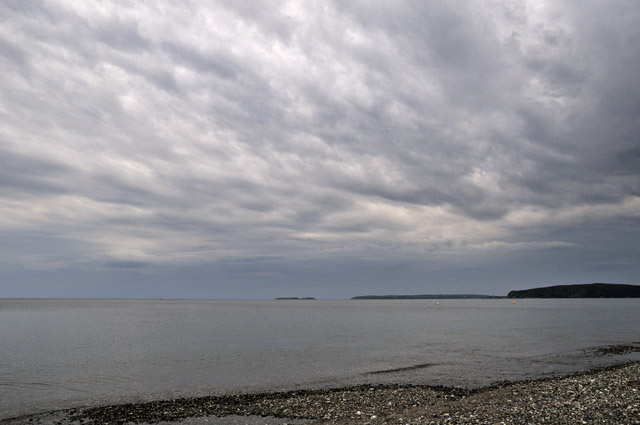
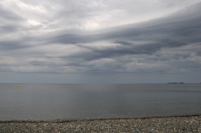
Strong turbulence is indicated by the undulations and layering, including some Kelvin-Helmholtz waves - the hook like features along the top of the darker cloud-layer.
Fishing closer to home has been affected by the sheer quantities of fresh water that have poured out into the Bay, colouring the water dark brown with suspended sediment and peaty run-off from the mountains. On the 27th I gave Borth beach a go in another brief fair-weather window. Arriving late in the afternoon, I immediately noticed a solid-looking bank of sea-fog looming on the horizon:
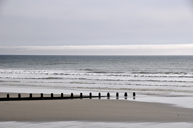
In no time at all, it was bearing down upon the beach:
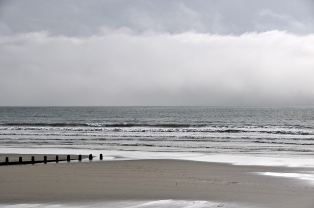
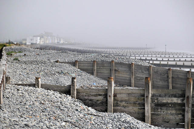
Borth was slowly engulfed:
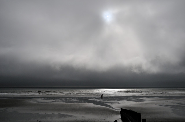
I quite liked this one, shot with a partially-obscured sun trying to break through which made the camera slightly underexpose the rest of the shot:
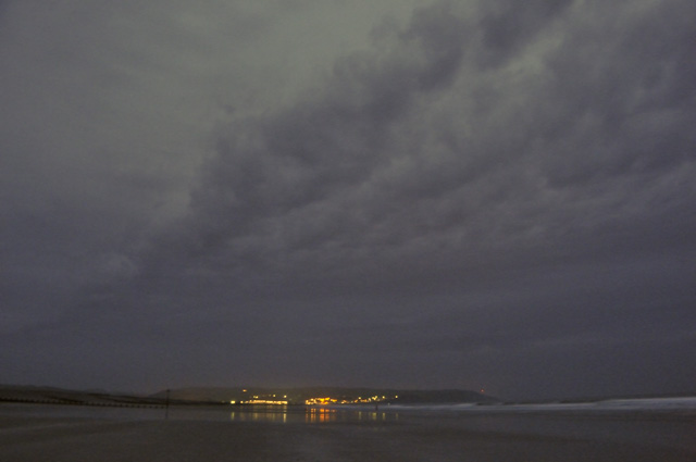
That night, as darkness fell, more dramatic cloudbanks moved in, presaging the arrival of another low with its attendant heavy rain:
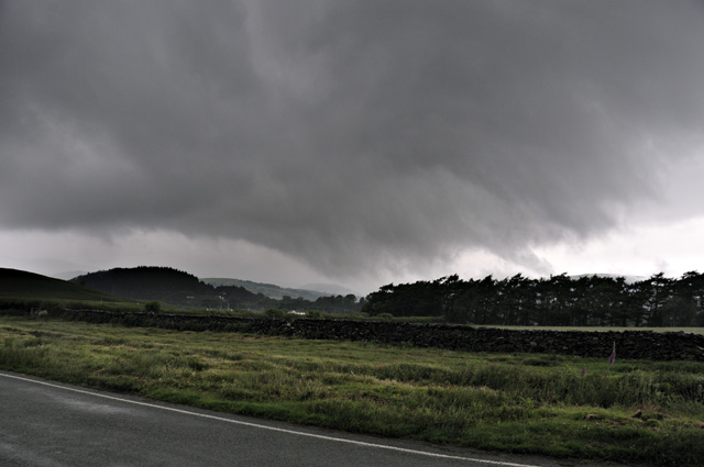
June 28th was a memorable UK weather-day. Here, convective storms tracked NE over the mountains: this one, with a ground-hugging gust-front, passed just NW of Machynlleth, so I popped out onto the Forge road to watch!
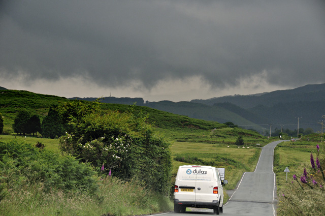
The gust-front goes over....
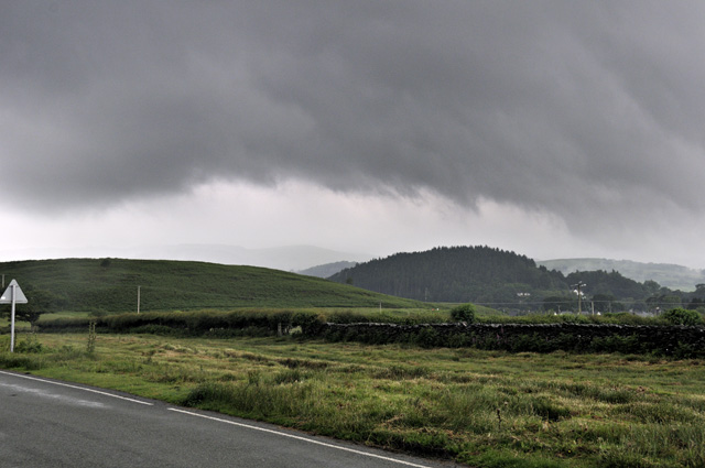
...and moves off to the NE.
Elsewhere, things were rather more dramatic. The plot below marks the morning's lightning-strikes:
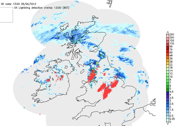
Here's a radar-plot for 13.10 on the 28th. The cell near Leicester has rainfall-rates up to the maximum on the scale of 250mm (10 inches) per hour, generally implying hail:

This, and two other storms that tracked through the East Midlands from late morning to mid-afternoon, were tornadic supercells. A number of tornadoes were reported, photographed and filmed, but one of the most spectacular features of these storms was the large to (for the UK) positively ginormous hail. The internet's full of videos and images of smashed greenhouses, cars dented to hell and so on. The supercells developed as a consequence of strong atmospheric instability combined with a large amount of wind-shear, where the wind changes in direction through the atmospheric column and in addition increases in speed. Such wind-profiles keep thunderstorm updraughts and downdraughts separated, allowing the storm to be long-lived and powerful; the strong updraughts also help to recycle hailstones, which fall then get lofted back up into the top of the cloud, adding new layers of ice each time, hence the large sizes that may be attained.

The rain, alternating with widespread heavy showers, continued on a daily basis. On the 30th, Borth was an island of sunshine in a sea of convection:

Cells were popping up along this line one after another then moving inland along it.....
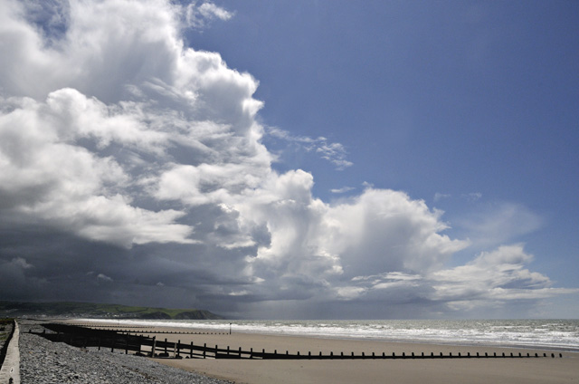
Here's the view inland with mature and developing cells:

A bit later:
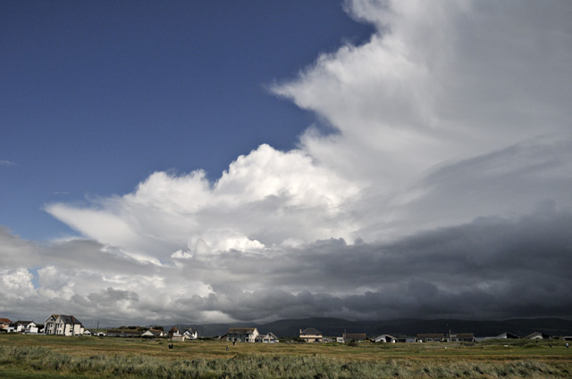
Aberystwyth was getting a good drenching!

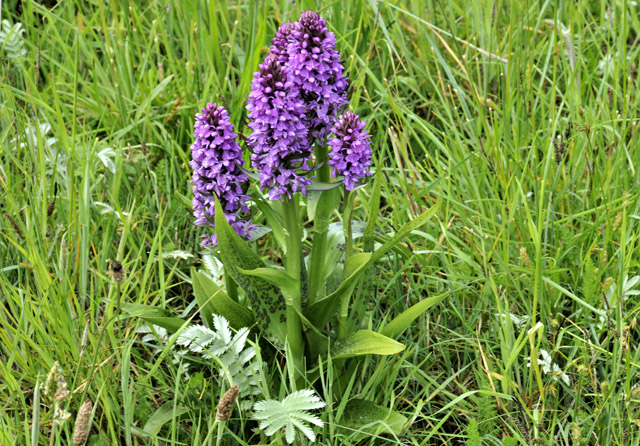
The cloudscapes became rather messy so a wander across Ynyslas Dunes was suggested. June and July are the best months for the abundant orchids here. This is an Early Marsh Orchid:
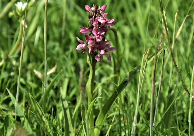
These magnificent Marsh Orchids are some of the best I've seen. The wet conditions have been excellent for wild flowers - including the creeping buttercups that find the conditions in my veg-garden to their liking!
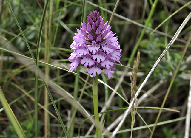
This one's a Pyramidal Orchid. I searched for the Bee Orchids too but was unsuccessful - either they're over already or are yet to flower.
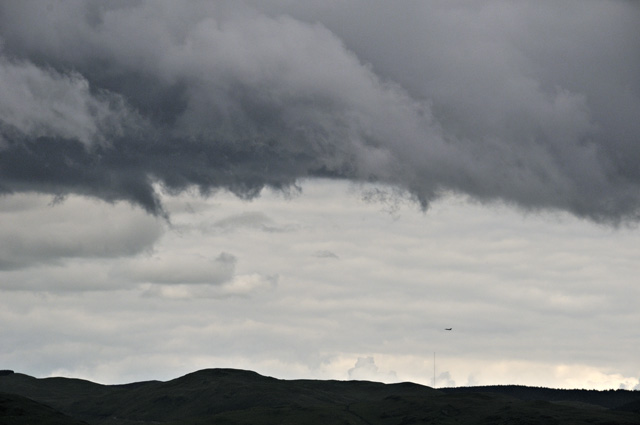
Into July and the theme continued. On the 4th, some showers brewed up over the mountains that deserved a detour on the way back from Aberystwyth. Cloudbases were dark and ragged with a lot of rising scud, but no funnels on this occasion despite the attractive low-level shear on offer, and the only tornado I saw was this RAF one, flying by in the distance!
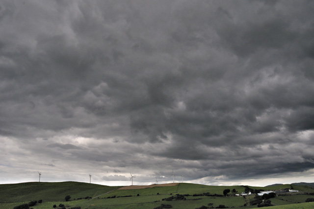
Mynyddgorddu windfarm with turbulent convective skies overhead:
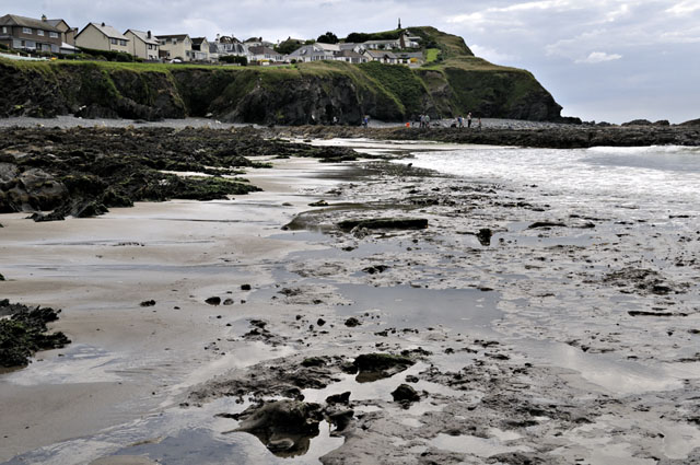
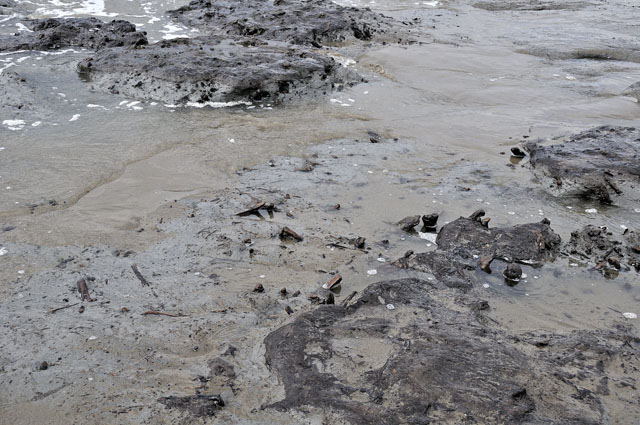
At Borth, large tides with low water falling that afternoon offered the chance of seeing what further scouring had occurred in the area of the beach where the ancient footprints were discovered earlier this year. It turned out that much scouring had certainly occurred and certain artifacts, including more burnt stone, were visible - plus some not-so-ancient ones:

This rock outcrop is normally buried - hence its sharp, slaty appearance. Areas of reef that are permanently exposed are rounded and waterworn.

Here are the peat-beds off the end of the rocks. I've never seen these exposed before.
In some places, the sea has eroded through the basal peat and into the grey clay underneath with its myriad tree-roots:
Here's an overview of the beach from the hills to its SE. The scoured area is bottom R, with the completed artificial reefs to the L. Clearly, modifications to the currents are allowing a sandbar to build up inshore from the reefs: whether these modifications are causing the scouring as well is an interesting question. The scoured/built up sand areas are certainly very close together!

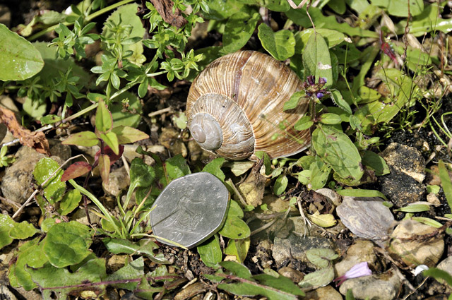
On July 8th a visit to the family in the Midlands led to a day out at the Roman villa at Chedworth - a fascinating place, more and more of which is coming to light as excavations proceed. The wildlife is also interesting, especially the huge edible snails that the Romans brought over with them and which still thrive in the area:
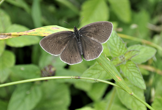
It's been a poor year for butterflies with all this damp, gloomy weather, but a few Ringlets were flying around the grasslands that fringe the villa:
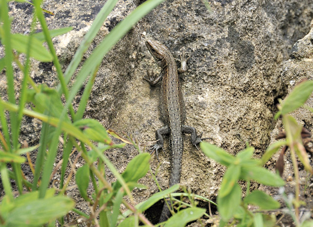
The sunshine was intermittent but this Common Lizard was making the most of it, waiting to bask on a block of Jurassic limestone, dating appropriately enough from the Age of Reptiles!
 :
:So what next? More of the same is what the charts suggest. Here's the forecast jetstream for July 13th. Not only is it running to the south of the UK but also it features a seasonally-strong jet-streak - a band of extremely strong winds within the already very windy jetstream - the colour-scale on the R gives the wind-speeds. This chart is for the 300 hPa pressure-level, which at around 9000-10000m above sea-level is somewhat higher than the summit of Everest. Anyhow, to get better settled conditions, the jetstream needs to be situated between Greenland and the UK
Meanwhile in the Arctic, sea-ice continues to melt in record amounts: extent values are the lowest for the time of year since records began:
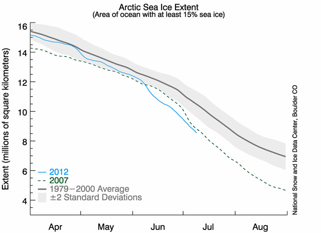
Is the reduction in contrast between Arctic temperatures and those further to the south having any effect on the jetstream and thus the weather? I don't know, but the jetstream marks the boundary between upper-level warmer (south) and colder (north) air. It seems to me that a warming Arctic might have some effect but what exactly? Is warmer air pushing north (e.g. over America) causing deeper meanders to develop, allowing cool upper air to push southwards in other areas such as here? Hopefully there will be more to report on this in the next post.
BACK TO WEATHER-BLOG MENU
New! Fine Art Prints & digital images for sale-
Welsh Weather & Dyfi Valley landscapes Slide-Library - Click HERE