BACK TO WEATHER-BLOG MENU
New! Fine Art Prints & digital images for sale-
Welsh Weather & Dyfi Valley landscapes Slide-Library - Click HERE
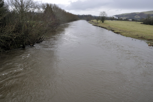
But way downstream it was a different picture. Returning to Wales on December 28th by the A44 route, I diverted a few miles down the A38 towards Tewkesbury, stopping at Severn Stoke for a shoot. The shot below was taken a couple of miles north of the village: the river is hundreds of metres away in the distance...
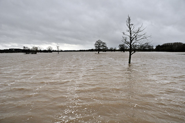
At Severn Stoke itself, minor roads simply disappeared into the floodwater....
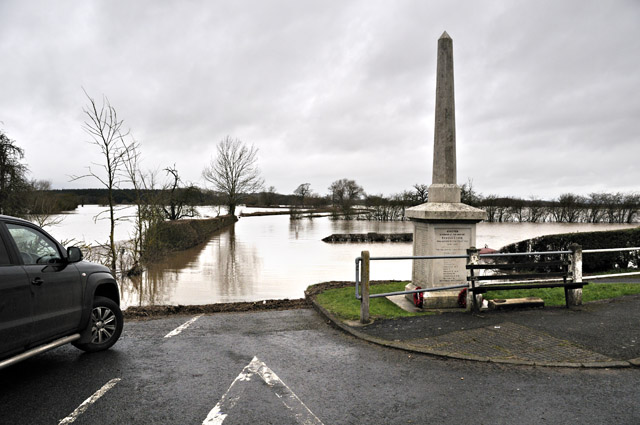
Here, too, floodwaters were slowly receding (the pub and church had both been inundated days before), but thousands of acres were still submerged....
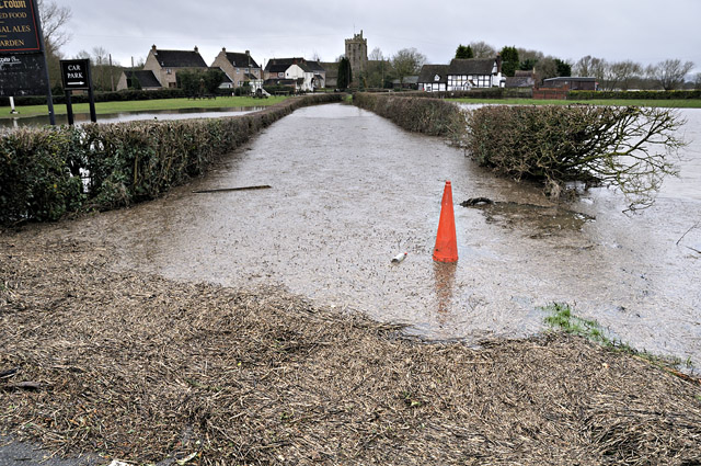
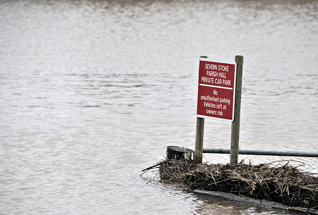
Sometimes a sign says it all!
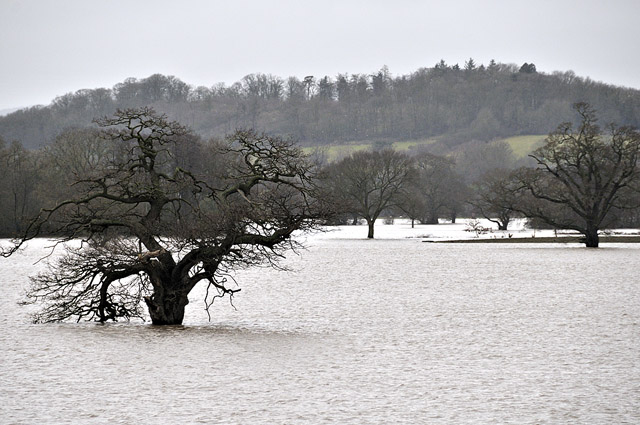
Looking out across the flood-plain towards the opposite bank....
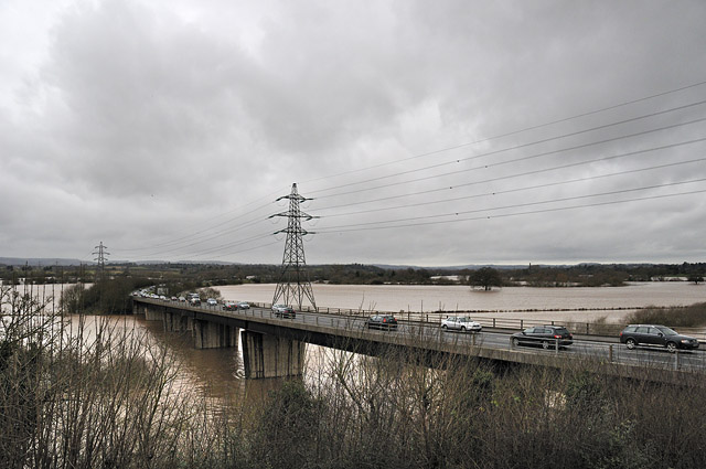
Heading back north there is a good series of viewpoints where the Worcester Bypass crosses the river - the official one (with car-park) has this view whilst others can be gained from along the bridge....
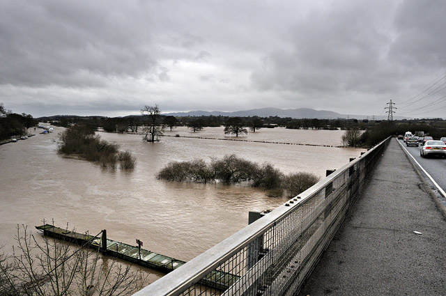
The main channel here lies tight along the L bank where boats can be seen moored in the distance, but a metre or more of floodwater covers all adjoining fields. The Malvern hills form the backdrop....
After taking a plethora of photos I headed on westwards, noting the sheer number of waterlogged fields on either side of the road. This one was near Leominster but it could have been anywhere between Alcester and Kington:
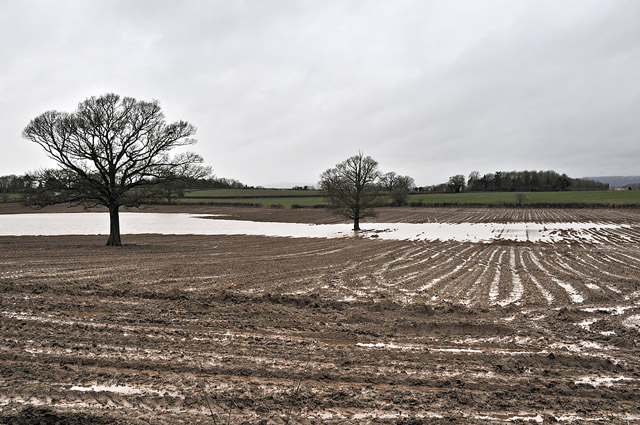
It really serves to illustrate that the ground simply cannot absorb any more water. Waterlogging to this degree can mean that flooding can result from even modest rainfalls as the water has nowhere else to go but to run off into the drainage, which becomes overwhelmed quickly.
The same process affected the Dyfi Valley right at the end of the year, as this shot taken from Y Wylfa, SW of Machynlleth, illustrates:
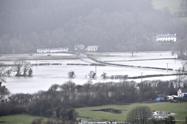
The Dyfi near Derwenlas:
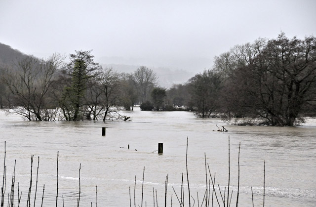
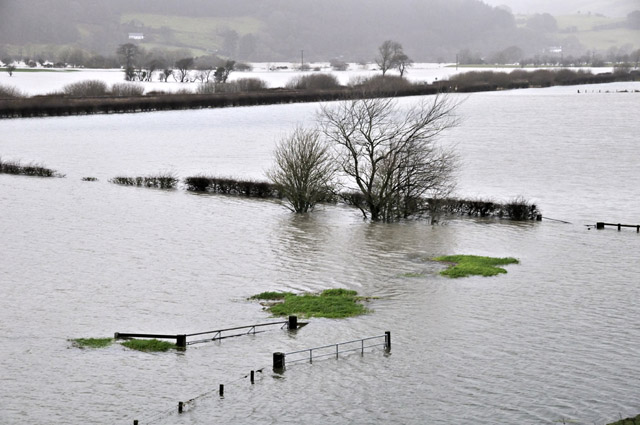
...and just downstream from the town. According to reports I heard, some 20 cars were written-off or severely damaged on this occasion, water getting sucked into diesel engine intakes being, as usual, the key problem. Water cannot be compressed and under such circumstances it's the rods that drive the pistons that fail - expensively!
Mild conditions associated with sou-westerly winds tracking in from the Atlantic continued through to about mid-month, with the first strong hint of something wintry being on the evening of the 14th, coming home from giving a talk at the Science Cafe at Aberystwyth. Visibility was poor as heavy sleet showers moved in and by the next morning the hills had a good coating of snow. But for valley-level locations, the main event so far as snowfall was concerned set in early on the morning of the 18th:
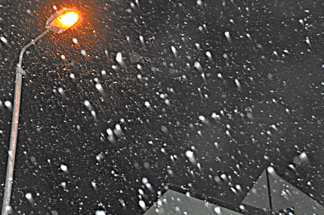
This was a classic Battleground scenario: with cold air in place over the UK a frontal system tried to work in from the west: where the mild moist air met the cold air, which refused to budge, the Atlantic air was cooled so that it precipitated snow rather than rain, and widely - some areas of South Wales saw almost a foot (30cm) of snow, leading to the usual chaos in the transport system.
In Machynlleth, only 5-6cm fell, but the radar showed how other areas were getting much heavier snow, and in the strong winds it would be drifting. In the afternoon I walked over to the veg-garden to check all was well....
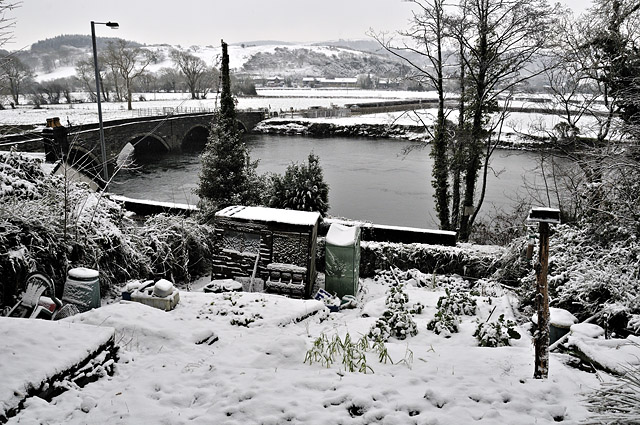
...before more heavy snow-showers moved in after dark, adding a bit more to the accumulation and swirling around in the gusty winds.
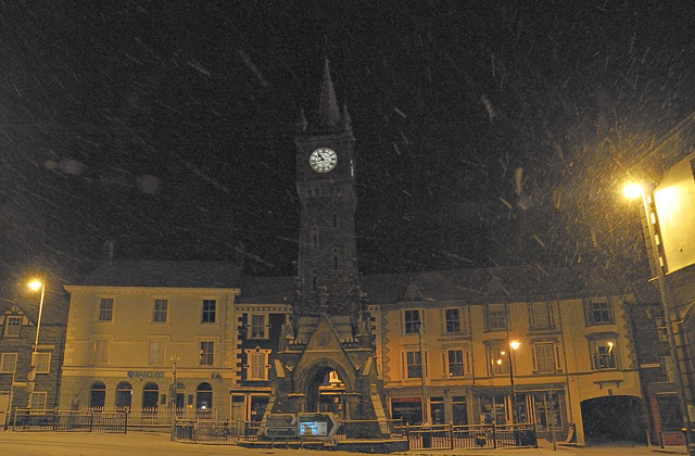
On the following day I went for a bit of a look around as the low cloud lifted in the afternoon. The neighbouring hills showed areas stripped almost bare but others under extensive drifts - a sure sign of heavy snowfall in high winds...
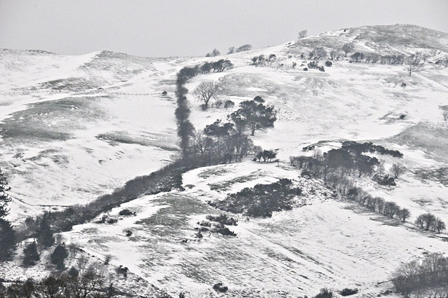
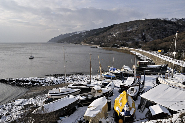
Snow had fallen to sea-level: this is Frongoch Boatyard near Aberdyfi....
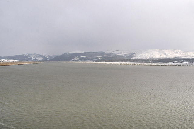
Nearby, this was the view southwards from near Gogarth across to the Llyfnant Valley. In contrast to January (and December) 2010, there's not an ice-floe in sight; although cold enough for snow, this spell has not been that cold to date....
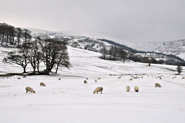
From Pennal, the snow-plastered ridge of the Tarrenau formed the backdrop to a wintry scene. The summit of Tarrenhendre is partially obscured by a shroud of spindrift being whipped-up by the winds....
.
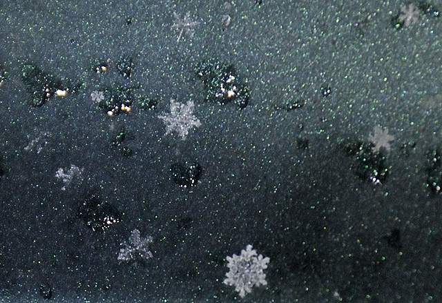
On January 20th, light snow again fell during the evening, each flake being a perfect crystal. Unfortunately these melted within seconds of landing on surfaces, and being less than 3mm across, were very difficult to photograph - I don't have a macro lens at the moment - out of a few I took this is the best, although with the right lens I would have done much better!
Having spent far too much time in the office of late, on the 21st I went up to the 220m contour on the mountain road and hiked the 4km up to the 520m summit. I was surprised to find the road had already been ploughed:
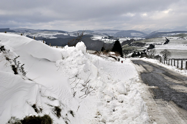
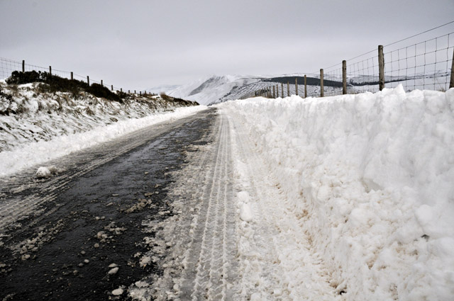
...it was clear all the way to the top. Some deep drifts had been dug through in places but this was nothing compared to the huge January 2010 snowfall....
Note the snow-depths around this fence junction:
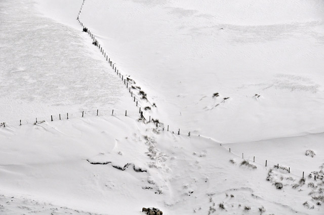
And the same spot in January 2010! It's a drift-prone spot and both snowfalls involved easterly winds: there was simply far more snow around in 2010.
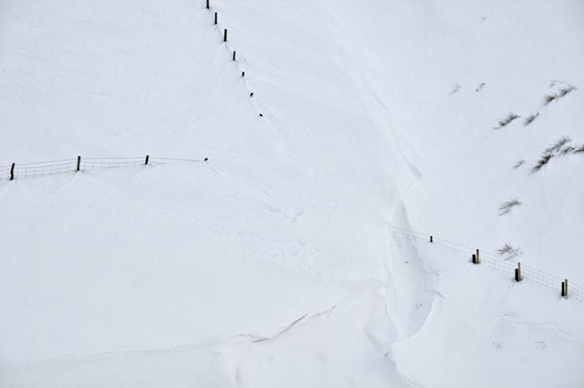
The sheep seemed to be managing OK....
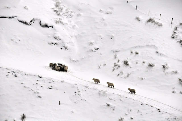
Onwards up to the top: this is usually the most dicey bit, but would have been fine in four-wheel drive on this occasion. Not mine though - that was by now nearly 300m below! I was enjoying the exercise in any case....
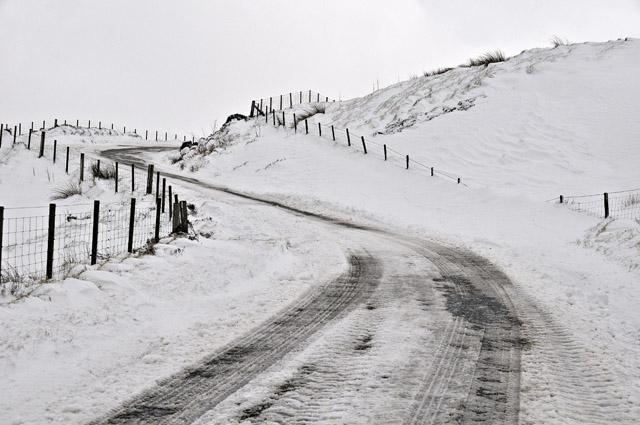
At the top, a pristine wilderness of snowdrifts and frosted moor-grass and heather greeted me. There was not a breath of wind and it didn't feel cold as such....
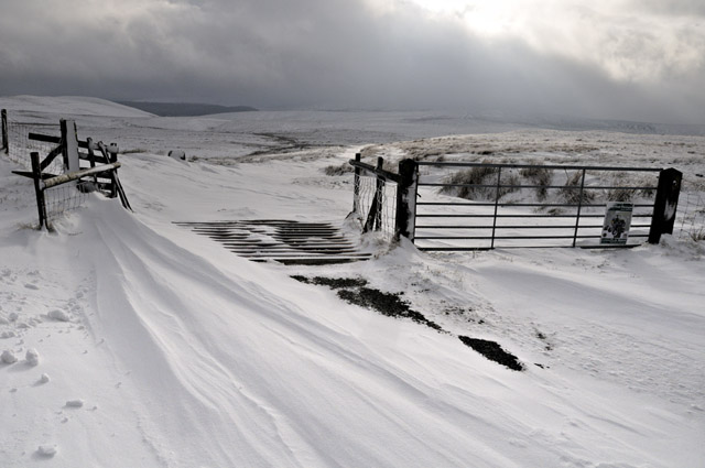
....although dark clouds were starting to amass. These would lead in the evening to more heavy snow-showers over the Machynlleth area giving another couple of centimetres of snow in places....
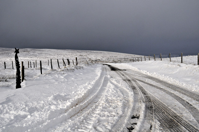
What's next? Looking out to the end of the month, the sou-westerlies kick back in with a vengeance from Saturday 25th onwards, temperatures getting into double figures at times. It's starting to look like a winter of seesaws - will the cold return into February? Only time will tell....
BACK TO WEATHER-BLOG MENU
New! Fine Art Prints & digital images for sale-
Welsh Weather & Dyfi Valley landscapes Slide-Library - Click HERE