BACK TO WEATHER-BLOG MENU
New! Fine Art Prints & digital images for sale-
Welsh Weather & Dyfi Valley landscapes Slide-Library - Click HERE
Winter 2014-15. Hmm. On October 10th 2014 this was the headline:
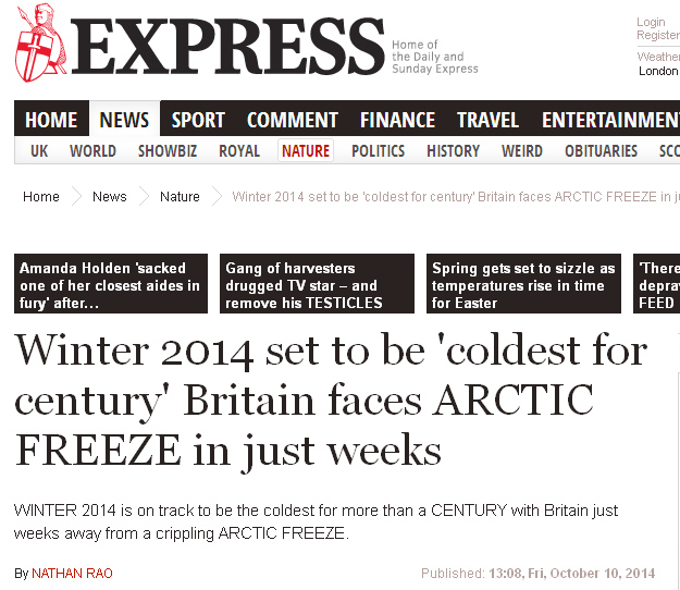
That pretty much sealed the season's fate! All in all it has been a rather ordinary winter with the mean Central England Temperature (CET) of 4.53C for the period December-January-February, or in other words, at chart position of 253 where 1 = coldest and 356 = mildest. By contrast, the exceptionally mild and stormy winter of 2013-14 came in at 345 and my first winter (not that I remember a thing about it, being about three months old at the time), 1962-63, came in at 3 with a CET of -0.33; 1947, another winter of epic proportions, is a mere No. 13!
Why certain newspapers continue to publish gibberish like this is an interesting topic, but primarily it's probably as clickbait. People are starting to wise up regarding the validity of these long-term forecasts of Snowmageddon. Whenever some self-appointed weather guru or another starts putting the word around that they know better than the entire Met Office, or that their meteorology is far superior to "standard" meteorology, then the alarm-bells should start to ring loudly. True, there were frosts and there were snow-days in winter 2014-15 (only just here - it lasted for a whole morning just about), and Scotland especially got plenty of snow. But isn't that what happens most winters? I lived in the Highlands for a couple of years and a winter without snow to valley level was a real talking-point. So 2014-15 was hardly sensational in my books, compared to, for example, the start and the end of 2010: the latter was so unusual that it demanded three blog-posts' worth of photographs from me before December had finished!
I've not been that active on the photography front this past few months, partly through being busy doing other stuff as outlined above and partly because after a major bereavement the Black Dog of sadness and depression can strike at any time even months later. It is just something that one has to work through patiently. But in such circumstances there are still the good days, even in a very ordinary winter, so this serving is from some of those occasions.
Early December saw more fine sunsets at Tywyn but what made this one special was the Kelvin-Helmholtz waves that developed on narrow banks of midlevel cloud:
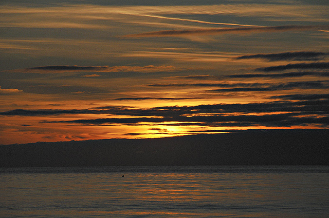

Kelvin-Helmholtz instability, as the phenomenon is called, can occur when there is a velocity difference across the interface between two layers of air. Translated, this means that the air above the cloudbank is travelling faster than the air in which the cloud is situated. Just like the wind makes ripples on water, the faster-moving air is making ripples form in the cloud. These are shortlived - just like waves in water, they continually break and new ones continually form.
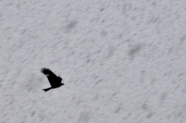
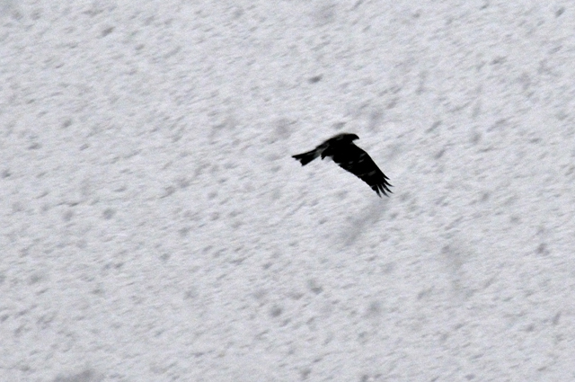
Christmas Day was pleasantly sunny here: there was a fall of hill-snow later on the 26th and a few wintery incursions around the middle of January. The shots below were taken on the 13th, showing two of the local Red Kites soaring through heavy snowfall, providing something different for the lens. But the snow didn't last and the thin covering that had stuck was gone in a few hours.
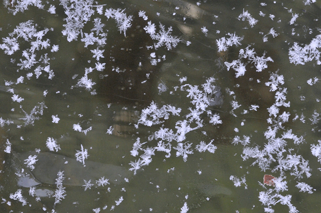
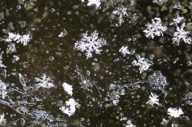
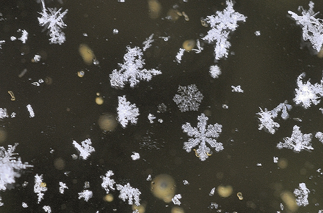
February was the coldest of the three months with a CET only just above average. Here some prolonged frosty conditions made the local back-roads icy in places due to moisture seeping from the fields. On the morning of the 2nd, with a hard frost, very light snow fell for a brief period. Popping outside briefly I noticed that it consisted of perfect crystals so grabbed the macro-lens I use for mineralogical photography and the tripod. These were all shot on top of a frozen bucket of water: the larger bunches of crystals were already melting but those lying flat on the ice lasted for some time:
A rare opportunity indeed!
Much of the rest of the time the snow stayed higher up on hills like the Tarrenau and Cadair Idris: some good winter conditions were to be had by walkers and climbers although from what I heard the major ice-climbs never really came into condition - it simply wasn't cold enough.

One Sunday dawned bright and sunny - there were a few good walking days this winter - and I set off to walk from Forge to Dyfi Junction via Glaspwll and Cwm Llyfnant. The walk goes about half a mile past my house then turns off onto a forestry track here:
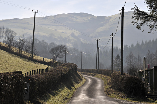
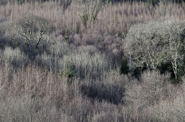
The view up the hillside above the turning. I liked the texture and play of light here:
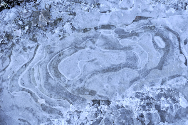
Along the shady forestry track, the frost still hung about and doubtless would remain until dusk, as would the thinly frozen puddles:
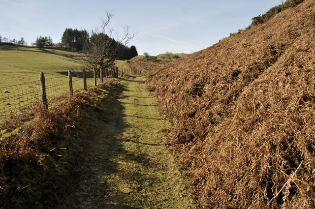
After a mile and a bit one strikes up out of the forestry and onto this path that leads up to the Bwlch above Glaspwll. By now it was feeling quite warm in the winter sunshine and layers were removed - they were not needed again....
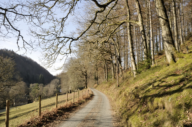
From the Bwlch another forestry track plunges down to meet the Glaspwll-Cwmrhaiadr lane, which leads on to the lane that follows the Llyfnant Valley down to Glandyfi:
The Llyfnant lane is for its first section hewn out of the rock, forming a wide ledge between the steep hillside above and the stream below. At this time of year it's a pretty sunless place - as you can see the light levels are so low that to correctly expose for the foreground blows out the sunlit sky in the distance....
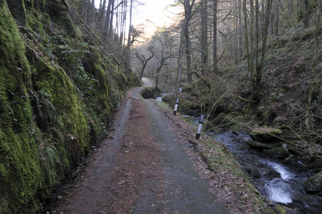
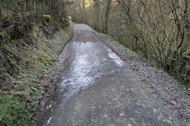
There were several large tracts of sheet-ice to navigate round, adding a bit of interest!
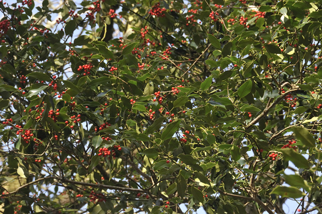
Further down the valley I was surprised to find this holly with its berries still intact - by late winter they are normally at least part-stripped by birds.
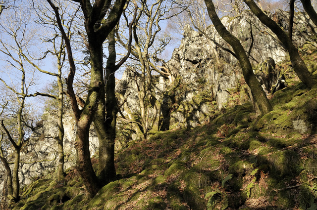
Dappled sunshine, oaks, moss and crags make this part of the valley quite special...
And so it was onto the main road, but only for a short distance, before turning off for Dovey Junction - perhaps Wales' most isolated railway station out in the middle of the salt-marshes...

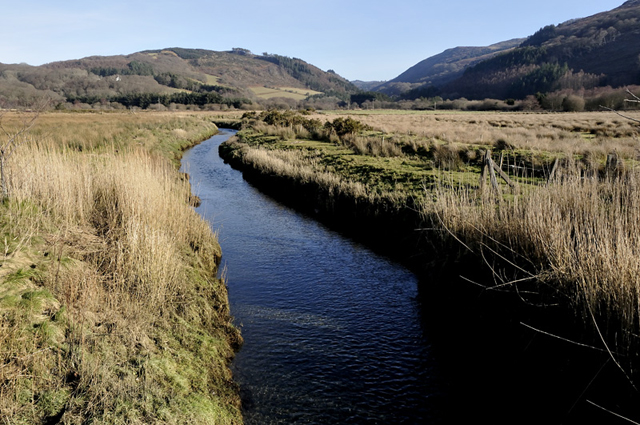
The dirt-road crosses the Llyfnant stream close to the station, here making its way out across the flat coastal plain to join with the Dyfi.
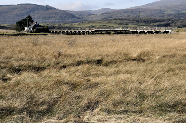
Passing the railway bridge over the Dyfi with a ditch-ridden expanse of rushes in between...
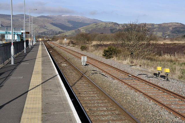
And finally to the platform, with nine minutes to spare until the next train back to Machynlleth. Recommended!
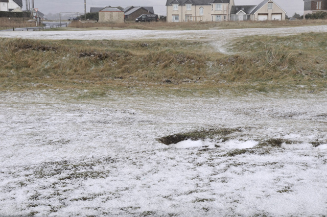
February 21st saw some convective opportunities. There have been several such outbreaks over the winter and I've seen lightning on two separate days here so far, but generally they were unphotogenic and messy. On this occasion there was much better visibility and light, it being a polar maritime airstream, so I headed off to Borth for a shoot, arriving in a blinding hailstorm that left the ground white:
Out to sea, further showers were moving along in the NW airflow. A heavy shaft of hail in this one could easily have been mistaken for a waterspout!

As the hail showers moved through the light constantly changed. I love this sort of weather for land/skyscape work....
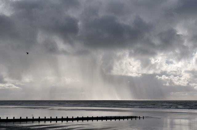
To my north, well separated cumulonimbus clouds moved in over the Tarennau....
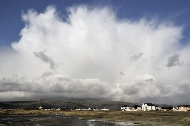

As the activity seemed more concentrated across there, I had a move down to the Estuary, getting this shot en-route with the sun lighting up the falling hail:
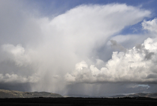
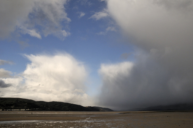
I arrived at the Estuary just as a very heavy hailstorm crossed it immediately to my east, dramatically lowering light levels as it did so...
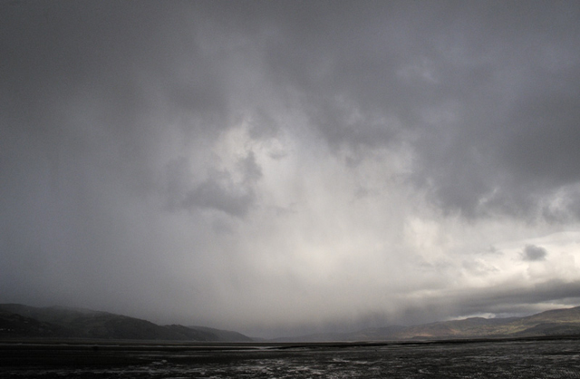
It slowly cleared and Aberdyfi came back into view, with another cumulonimbus being revealed in the distance...
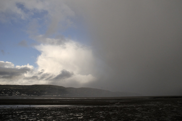
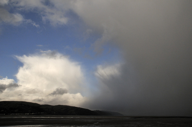
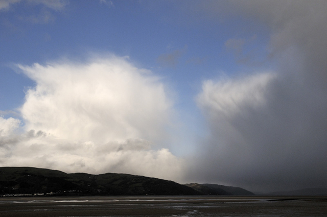
Nice! Good to get out and see some dramatic skies again.
The convective activity eased off towards sunset and I headed home. After sunset I noticed a nicely illuminated bank of cloud with Kelvin-Helmholtz waves along its top....
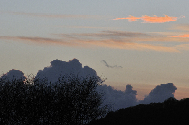
It's not often that one of my blog-posts starts and finishes with something so unusual. Lunchtime has now arrived and it's a beautiful early spring day out there with temperatures forecast to rise into next week so hopefully a few good walks will be on the cards in among working on marketing for the guiding. More soon!
BACK TO WEATHER-BLOG MENU
New! Fine Art Prints & digital images for sale-
Welsh Weather & Dyfi Valley landscapes Slide-Library - Click HERE