| SITE NAVIGATION: |
How to buy/prices | About me | Contact |
| Themes
- Geography: |
The Coast, Aberystwyth to Barmouth |
The Valleys: Scenery & Wildlife | The Mountains: Cadair Idris, Tarrenau, Arans, Plynlimon |
| Themes - Weather: | Storms - stormclouds, floods & damage | Snow, ice, fog and frost | Light: Rainbows, sundogs, noctilucent clouds, sunsets |
Mid-Wales Mountain images - from Cadair Idris to Plynlimon
© ALL IMAGES COPYRIGHT JOHN S. MASON 2000-2011: NO REPRODUCTION WITHOUT PERMISSION.
| MOUNTAIN SUBCATEGORIES: | Cadair
Idris |
Tarrenau | Arans | Plynlimon massif |
|
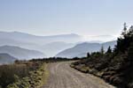
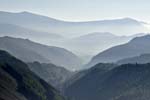
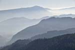
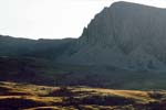
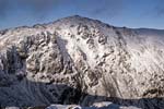
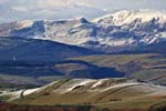
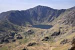
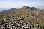
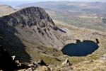
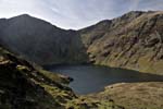
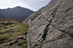
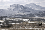
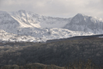
Rated by many as the most spectacular mountain hereabouts, Cadair Idris rises to 893m above sea-level. The best views of it are from the north, when the wall-like line of precipitous crags guarding the several summits stands out; on the mountain itself it is the local rock-architecture that catches the eye. Place your mouse cursor over any image for a brief caption; click on image for an enlargement, more detailed caption and ordering info; click the "Back" link to return to here. |
 |
 |
 |
 |
 |
 |
 |
 |
 |
 |
 |
 |
 |
 |
 |
 |
 |
 |
|
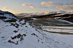
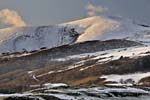
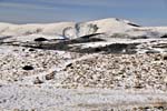
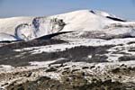
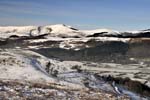
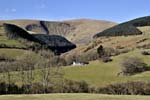
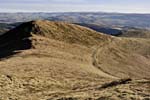
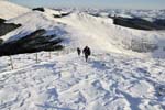
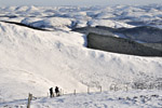
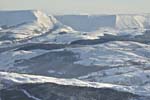
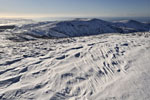
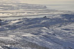
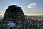
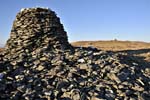
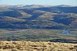
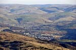
Under-rated and as a consequence quiet, the Tarrenau form a lengthy ridge above the north side of the Dyfi valley, from Corris to Tywyn. The western section is my favourite: after the tiring plod up to the 633m summit of Tarrenhendre the going is delightful, out to Trum-Gelli and its huge, Bronze-age pair of cairns, with extensive views in all directions. Place your mouse cursor over any image for a brief caption; click on image for an enlargement, more detailed caption and ordering info; click the "Back" link to return to here. |
 |
 |
 |
 |
 |
|
 |
 |
 |
 |
 |
 |
 |
 |
 |
 |
 |
 |
 |
 |
|
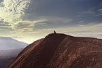
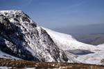
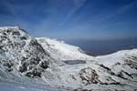
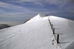
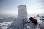
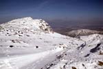
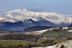
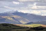
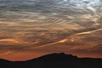
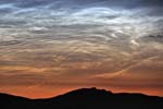
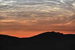
Aran Fawddwy, at 905m above sea level, is the highest peak in this part of Wales, and the Dyfi itself springs forth from the lake at the base of the summit-crags. In winter conditions it is a fairly demanding day out but the photographic opportunities make it worth the effort. The cairn on Drws-Bach commemorates Mike Aspain of the RAF Mountain Rescue, killed there by lightning some decades ago. The bottom row of images are pretty unique - they show noctilucent clouds (80km up in the Mesosphere) with the Arans below. These were taken during the amazing and widely-reported display overnight on July 2-3 2011. Place your mouse cursor over any image for a brief caption; click on image for an enlargement, more detailed caption and ordering info; click the "Back" link to return to here.
|
 |
 |
 |
 |
 |
|

|
 |
 |
 |
 |
|
 |
 |
 |
 |
 |
|
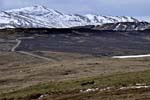
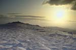
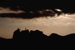
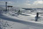
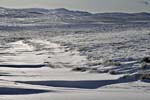
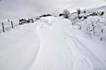
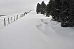
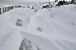
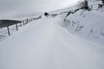
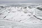
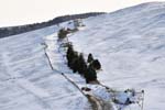
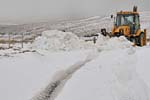
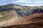
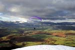
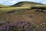
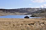
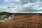
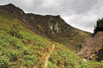
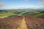
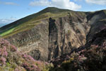
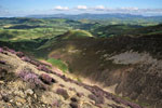
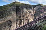
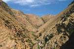
Plynlimon (752m) is the high-point of a vast area of wild hill-country that stretches from south of the Dyfi Valley down as far as the A40 corridor across South wales. Crossed by only a handful of roads, its vastness is the key to its peacefulness. For the photographer, the mountain's northern aspect is by far the best, and rivalling it for scenery is the northern escarpment of the high ground where it plunges down into the Dyfi Valley. This area is accessed by the Machynlleth-Llanidloes mountain road that reaches 520m above sea level at its high-point. The road may be affected by snow in the winter months, sometimes to a spectacularly photogenic degree! Place
your mouse cursor over any image for a brief caption; click on image
for an enlargement,
more detailed caption and ordering info; click the "Back" link to
return to here.
|
 |
 |
 |
 |
 |
 |
 |
 |
 |
 |
 |
 |
 |
 |
 |

|

|
 |
 |
 |
 |
 |
 |
|
 |
 |
 |
 |
 |
 |
 |
 |
 |
 |
 |
 |
 |
 |
 |
 |
 |
 |
 |
 |
 |
© ALL IMAGES COPYRIGHT JOHN S. MASON 2000-2011: NO REPRODUCTION WITHOUT PERMISSION.